Duration: 2.5 hours
Difference in altitude: +150m
Altitude at start point: 910m
Altitude at end point: 1060m
Map reference: IGN TOP 25 - 3429 ET
- Sport
Les Chaix walking and cycling route
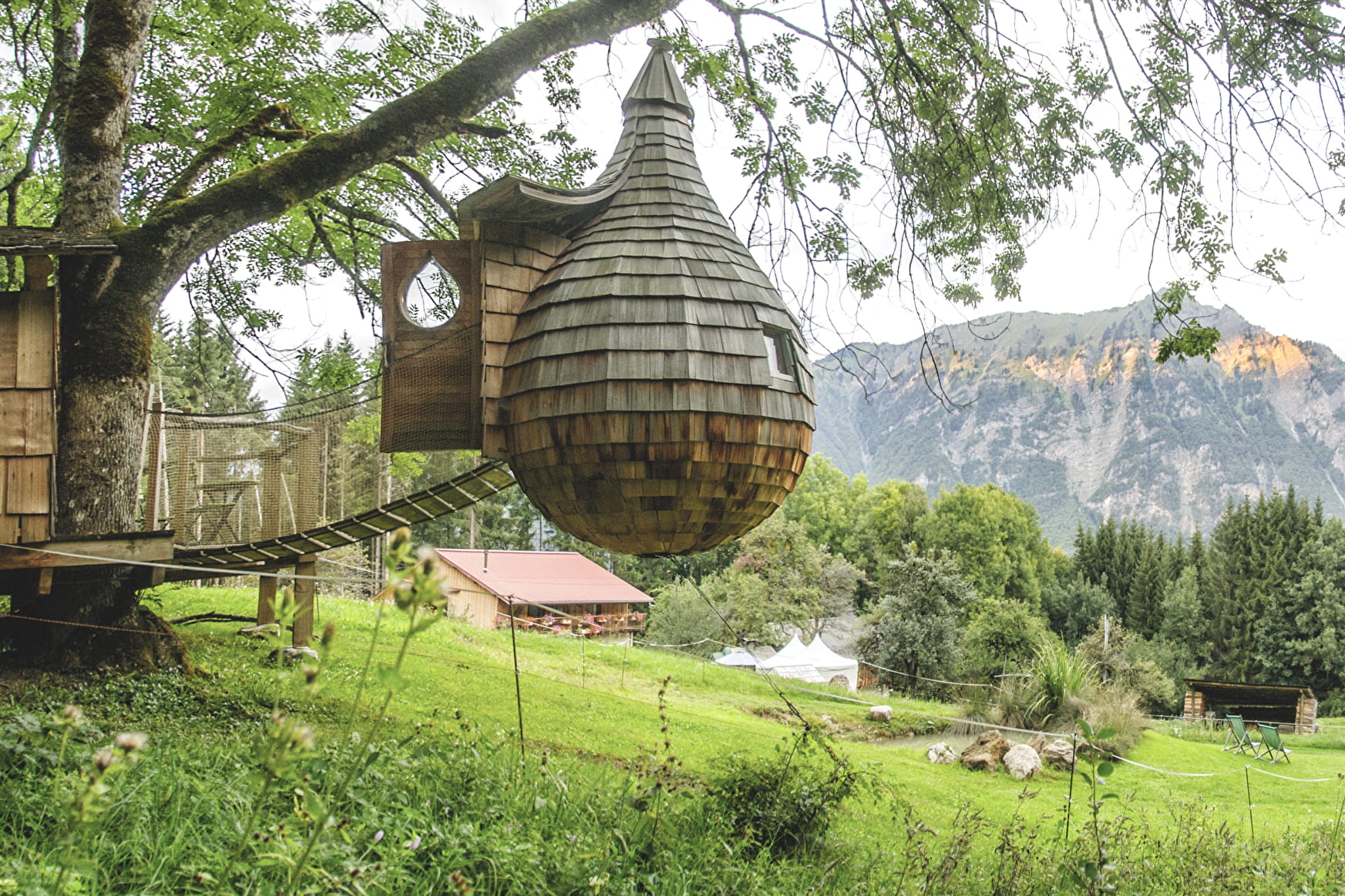
An easy route around Bogève. The effort you put into your trek are rewarded when you reach the ridge path snaking through a beautiful forest of spruces with beautiful views.
About

1 1

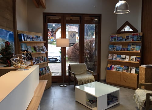
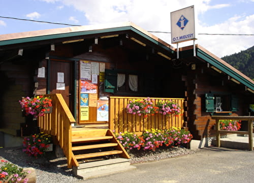
Reception
A guidebook featuring hikes and mountain bike trails is available in Vallée Verte Tourist Information in Habère-Poche.
Period of practice
All year round.
Subject to favorable snow and weather conditions.
Services
- Pets welcome