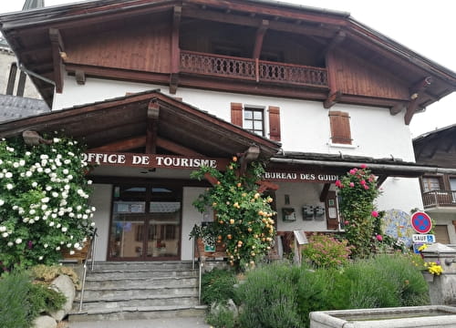
A loop to discover all the facets of Crest-Voland / Cohennoz. From the Tourist Office, the Entre deux Villes then Cernix road leads to the hamlet of Cernix. From there, take the road then the Prarian track going up towards Bois de Ban (picnic area). Go through the barrier and reach the Boeu du Cohen crossroads. Turn left towards Mont Lachat and join the lake. Go around it to the right and go down to the "Le Manstu" signpost (little marked path). Continue downhill to Crest-Voland, passing through the “Bellegarde”, “Le Tovat” and “Les Bérets Verts” signposts.
- Sport
Le Mont-Lachat FFC n°52
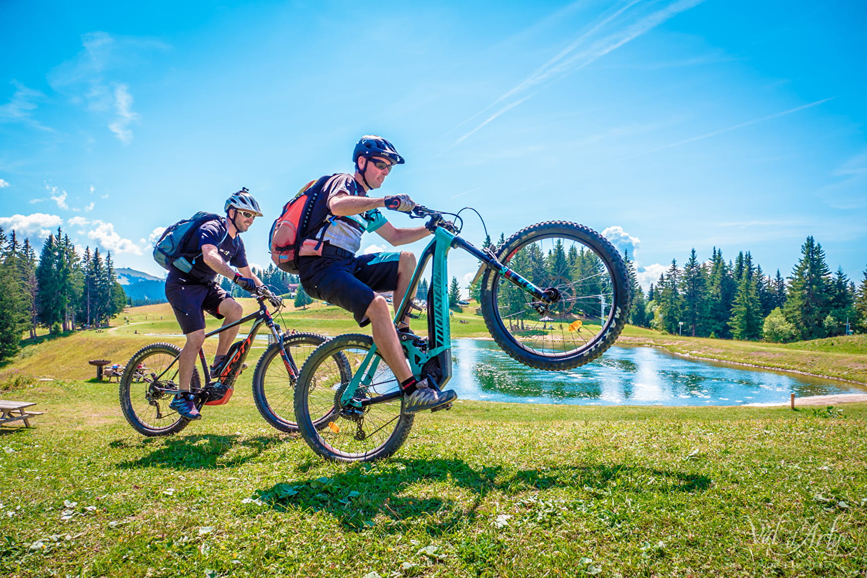
Loop from Crest-Voland which leads on the heights of Mont Lachat.
Sport Le Mont-Lachat FFC n°52 Crest-Voland
About

Map references
Sports VTT map on sale in the Uffizi at € 4 OR Espace Diamant MTB card on sale in the tourism office at € 2.50.
Prices
Map of mountain bike routes on sale at the Tourist Office at € 2.50.
Methods of payment accepted : Bank/credit card, Check, Cash
Period of practice
From 15/06 to 15/10.