• Sport

Itinéraire enduro - Carreley

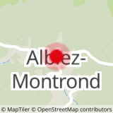
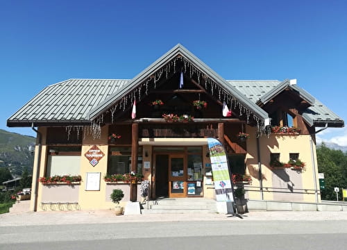
Sport Itinéraire enduro - Carreley Albiez-Montrond

About

Departing from Albiez-Montrond (73300)
Average length : 00h10
Vertical drop : 70m
Distance : 0.3km
Signed walking trail

Itinerary
Altitude max : 1500m
Vertical drop : 70m

Further informations

Stone, Ground

Prices

Free access.

Reception

Languages spoken : French

Period of practice

All year round.

Subject to favorable weather.

Equipments
  • Parking

Access

Place Opinel 73300 Albiez-Montrond
Departing from : Albiez-Montrond (73300)
Latitude : 45.218471 - Longitude : 6.340958
Information update on 15/09/2023 by Montagnicimes Office de tourisme Intercommunal