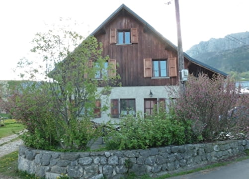
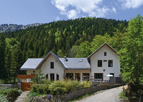
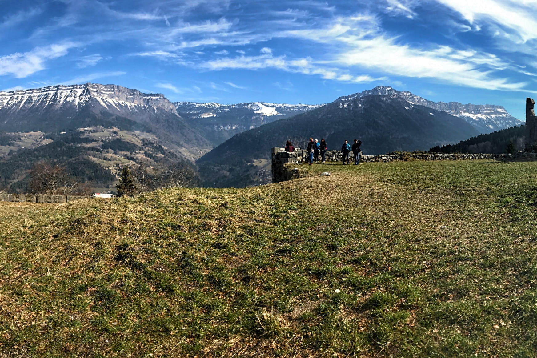
(1) From the tourist office, follow St-Pierre-de-Chartreuse. At the village exit, take the road D102b which goes right. (2) At the first bend, take left the ‘Chemin du Nan’ towards ‘Le Villard’. At the fork, take the road on the right to meet the hamlet of ‘Préversin’. There, take left. Do not miss, 300 meters away, after the last house of the hamlet, the path going up on the right to the hamlet ‘Le Villard’. Go up for about 1 km on this path and keep left at the junction. (3) The path opens up on the hamlet ‘Le Villard’, just above the goat farm of Labérou. Sale of goat cheese in the farm! Going straight, take the path to ‘Les Reys’. (4) At the yellow sign ‘Les Reys – 940 m’, take left the path which goes down in a valley and that crosses a field. The path leads to the village of ‘St Philibert’. Go straight on and take the path starting in the first bend. (5) 1 km further, turn 180° on the right to ‘Les Reys’ and ‘St-Pierre-d’Entremont’. Follow the path, leading to ‘Les Arragons’, on the B-road D102b. (6) Cross the hamlets of ‘Les Arragons’ and ‘Les Reys’. From this road the view is amazing. Stay on the D102b to ‘Le Villard’. After the vacation centre and some bends, take the ‘Chemins des Fontanettes’, a paved way going up steep the left. (7) At the top of the way up, take left again. After a bend on the right and a way up for about 50 m, turn right on a small path next to a private road. This path (chemin des Champas) after one pleasant kilometer, meets the road of Touvière. Take this road to the hamlet ‘Le Château’. (8) To reach the ruins of the Castel of Montbel, turn right on a small path after the oven and the washing place. To go back to your starting point, take the road again and leave on your right the path you took to come. Pass the hamlet ‘Paquet’, take left the path of the ‘Circuit du Château Randocroquis’, which leads to the B-road D102b through a long and steep descent. Turn left and follow the road to go back to the centre of the village.
- Sport
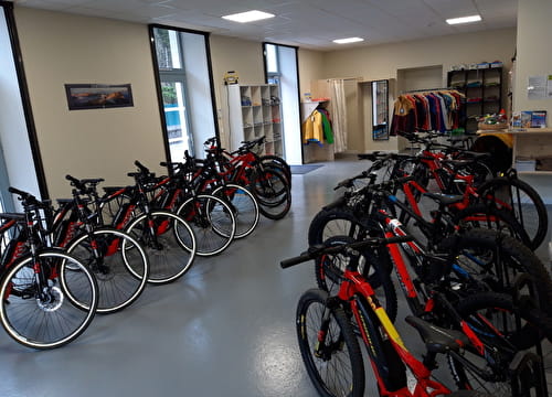
Etrip sous la Dent de l’Ours
A round trip to initiate you into e-Bike. This itinerary is recommended to people used to mountain biking.
Sport Etrip sous la Dent de l’Ours Saint-Pierre-d'Entremont
About

Further informations
Ground, Hard coating (tar, cement, flooring), Grit
1 1

Prices
Free access.
Reception
Period of practice
From 01/05 to 31/10.
Subject to favorable weather.
Equipments
- Car park
- Free car park
- Public WC