Enduro Trail - Lanslebourg
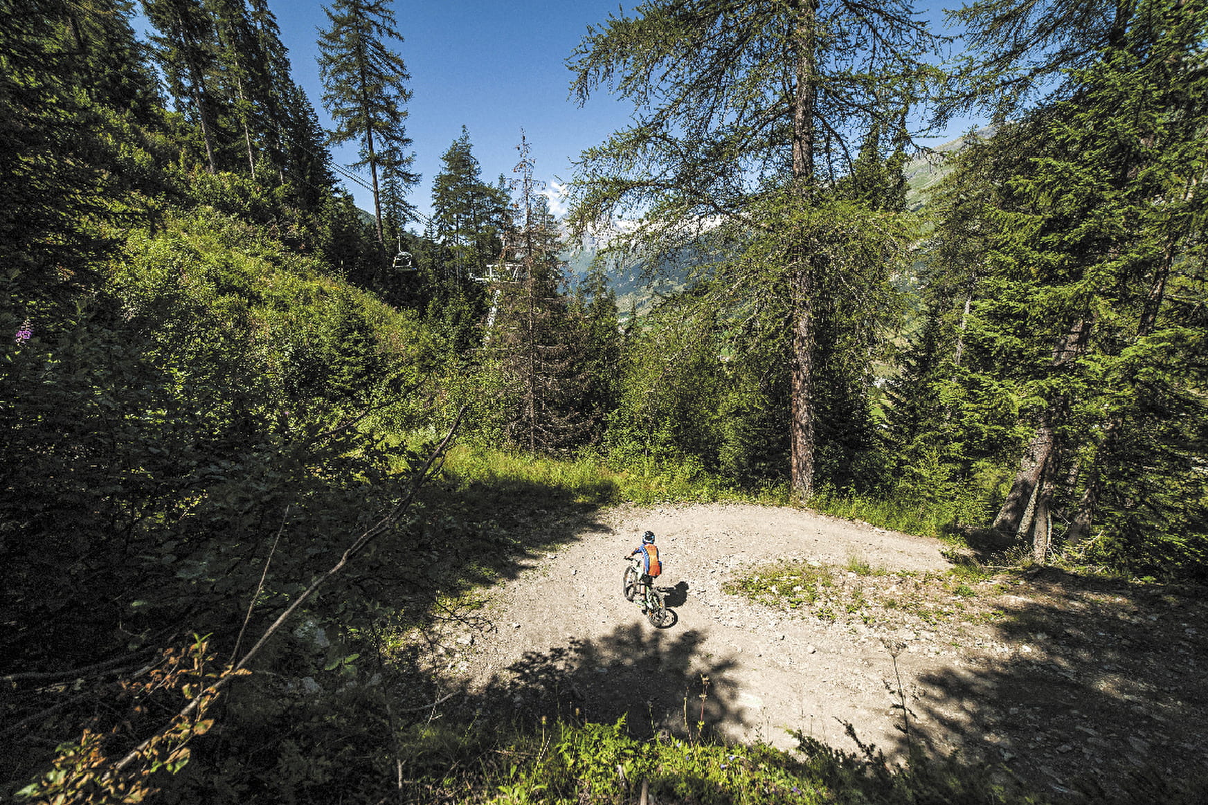
The slope is never steep, but requires continuous effort for 8.3 km and an elevation gain of 724 metres. The entire trail is through woodland, ideal for keeping cool. At the top you have access to three Enduro trails.
About

Signs
Marker "MONTEE ENDURO"
Map references
Haute Maurienne Vanoise mountain bike map sold in the Tourist Offices
Topoguides references
Haute Maurienne Vanoise mountain bike booklet sold in the Tourist Offices
Further informations
Ground

Prices
Free access.
Reception
Period of practice
From 15/06 to 01/10.
Subject to favorable snow and weather conditions.
Contacts
Access
By car, park in the car park near the Tourist Office.
During the summer season, you can take the bus line S52 (Modane - Aussois - Lanslebourg) or S53 (Modane - Bonneval/Arc) and get off at the "Office de Toursime" stop; the bus is equipped with a bicycle trailer every day except Saturday.