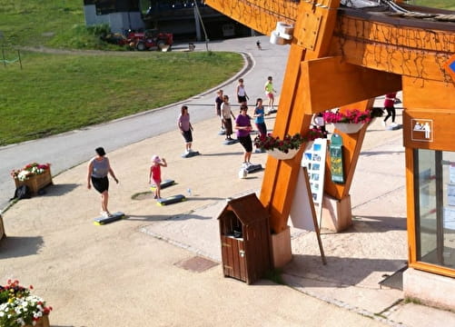
Enduro trail - Aussois
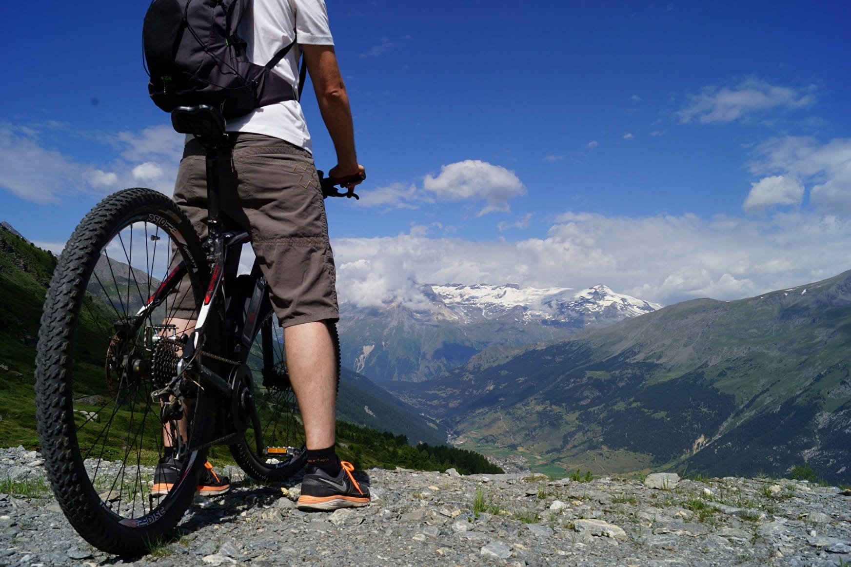
The locals call it the "Route des Barrages" (dam road). It makes a relatively steady climb of about 6 km for an elevation gain of 548 metres. The ideal way to reach the top of the 3 Enduro trails of Aussois.
Enduro trail - Aussois Aussois
About

Signs
Marker "MONTEE ENDURO"
Map references
Haute Maurienne Vanoise mountain bike map sold in the Tourist Offices
Topoguides references
Haute Maurienne Vanoise mountain bike booklet sold in the Tourist Offices
Further informations
Ground
1 2


Prices
Free access.
Reception
Period of practice
From 15/06 to 01/10.
Subject to favorable snow and weather conditions.
Contacts
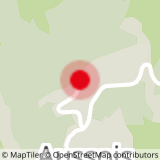
Access
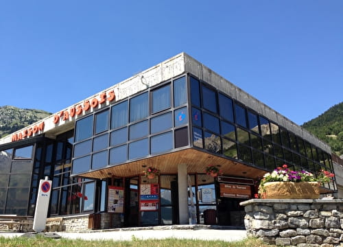
By car, park near the Maison d'Aussois.
During the summer season, you can take the bus line S52 (Modane - Aussois - Lanslebourg) and get off at the "Maison d'Aussois" stop; the bus is equipped with a bicycle trailer every day except Saturday.