Along the way, don't miss the village of Chaumont. A typical village with the ruins of its ancient castle and a lively center.
Go around the Eloise church to the right and follow the road northeast. At the "Eloise - 510 m" sign, turn right.
After 200 m, take the carriage road straight down into the forest (be careful, the slope is steep and the path can be slippery in wet weather).
At the bottom of the descent, cross the Parnant stream and climb back up the hill. At "Champ du Chêne - 420 m", turn right to reach the hamlet of Fruitière. Follow the road to the left towards Trainant for 700 m.
As you approach a beautiful wooden cross, leave the road and turn right onto the carriage road. This gradually rises over the Crêts de Fruitière (glacial moraine), offering a remarkable panorama of the Haute-Chaîne du Jura, the Défilé de l'Ecluse (bird migration corridor) and the Vuache mountain range.
At "Trainant - 550 m", turn left onto the road to reach the "Crêt du Feu" parking lot (take care as you cross a départemental road). Continue straight on uphill, past the "Arcine - 600 m" signpost, cross the A40 freeway and continue straight on along the forest edge.
Turn left into the woods, then right after 250 m.
Near the wooden hut, you can see a beautiful "Pierre à cupules", an erratic boulder deposited by the Rhône glacier and sculpted by prehistoric man.
From here, take the forest path that runs 3.5 km along the edge of the Vuache mountain.
The cliffs on the south-western slopes of the Vuache massif are protected by an Arrêté Préfectoral de Protection de Biotope (APPB), which prohibits climbing and paragliding from January 15 to July 15. This exceptional natural environment is home to several pairs of protected birds of prey (Peregrine Falcon and Long-eared Owl), as well as rare plant species such as the Dictamne blanc.
Reach "Vovray - 740 m", then leave the road and continue straight on towards Chaumont. Pass the "Champ Rosset - 730 m" signpost and reach the hamlet of Chaumontet (road).
After the last houses, turn left onto Chemin des Voiries, which descends and rejoins the road after 300 m. Continue straight ahead, past the cemetery, then the Caveau de La Treille (selling Roussette and Savoy wines), and turn left into the Rue des Ecoliers, which leads up to the village.
In the heart of Chaumont, you can continue your hike by turning right in front of the church and following the GR "Saint Jacques de Compostelle" / Chemins du Soleil signs, towards Frangy.
- Sport
Crossing the Jura, from Eloïse to Chaumont - Mountain biking
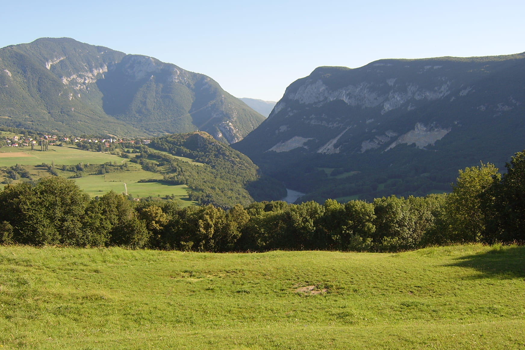
Along the way, you'll discover magnificent views of the Vuache and the Ecluse defile. You'll find yourself moving through undergrowth at the foot of the Vuache and its protected cliffs. On arrival, don't miss the village of Chaumont.
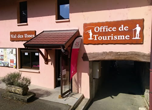
Sport Crossing the Jura, from Eloïse to Chaumont - Mountain biking Éloise
About

Prices
Free of charge.
Reception
Period of practice
All year round.
Equipments
- Car park
- Free car park