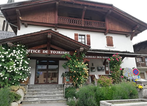
A very rolling route facing the Aravis and Mont-Charvin. From the Tourist Office, the Entre deux Villes road then the Cernix road takes you to the hamlet of the Cernix. From there, take the road then the Prarian track going up towards Bois de Ban (picnic area). Go through the barrier and join the
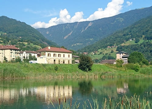
crossroads of Boeuf du Cohen. Turn right on the track of the Palette until the sheepfold then stay on the track to join the cross of Varzeron. Go down on the right, the track leading to Cohennoz (pay attention to the Glaitière junction). From the village, go up the departmental road 71 to Crest-Voland.
- Sport
Cohennoz FFC n°51
Route mostly in the forest. Gradual climb to the Croix de Varzeron to enjoy a beautiful descent to the village of Cohennoz.
Sport Cohennoz FFC n°51 Crest-Voland
About

Map references
Sports VTT map on sale in the Uffizi at € 4 OR Espace Diamant MTB card on sale in the tourism office at € 2.50.
1 3


Prices
Free access.
Period of practice
From 15/06 to 15/10.