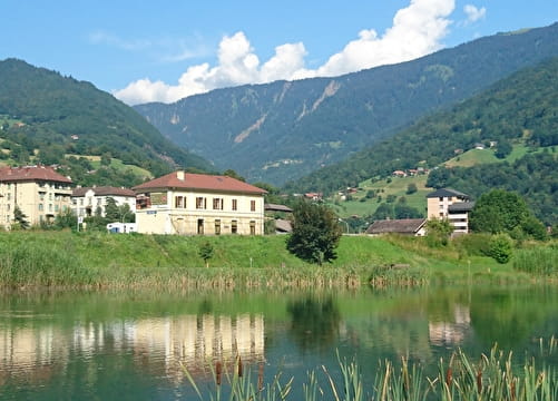
Set off from in front of the church at Saint Nicolas la Chapelle, taking the road towards Chaucisse and passing through the hamlets of Vernaz, Les Combes, Le Plan, La Char and following the Chaucisse valley. Once you get to Chaucisse, take the mountain road to Bogneuve. At the crossroads, go towards the Col des Aravis. At Les Stapssets, go back down via Grand Sesteneret, Le Chet, Les Frasses, Nanchard.
At Nanchard you have two options. Either go to Le Manant and the main road that runs between La Giettaz and Flumet which will take you to the centre of Flumet, or go in the direction of Chaucisse, as far as Saint Nicolas la Chapelle via the Pont de Chaucisse, Landelière and Le Seuthenay.
- Sport
Circular route "Bogneuve" FFC n° 62
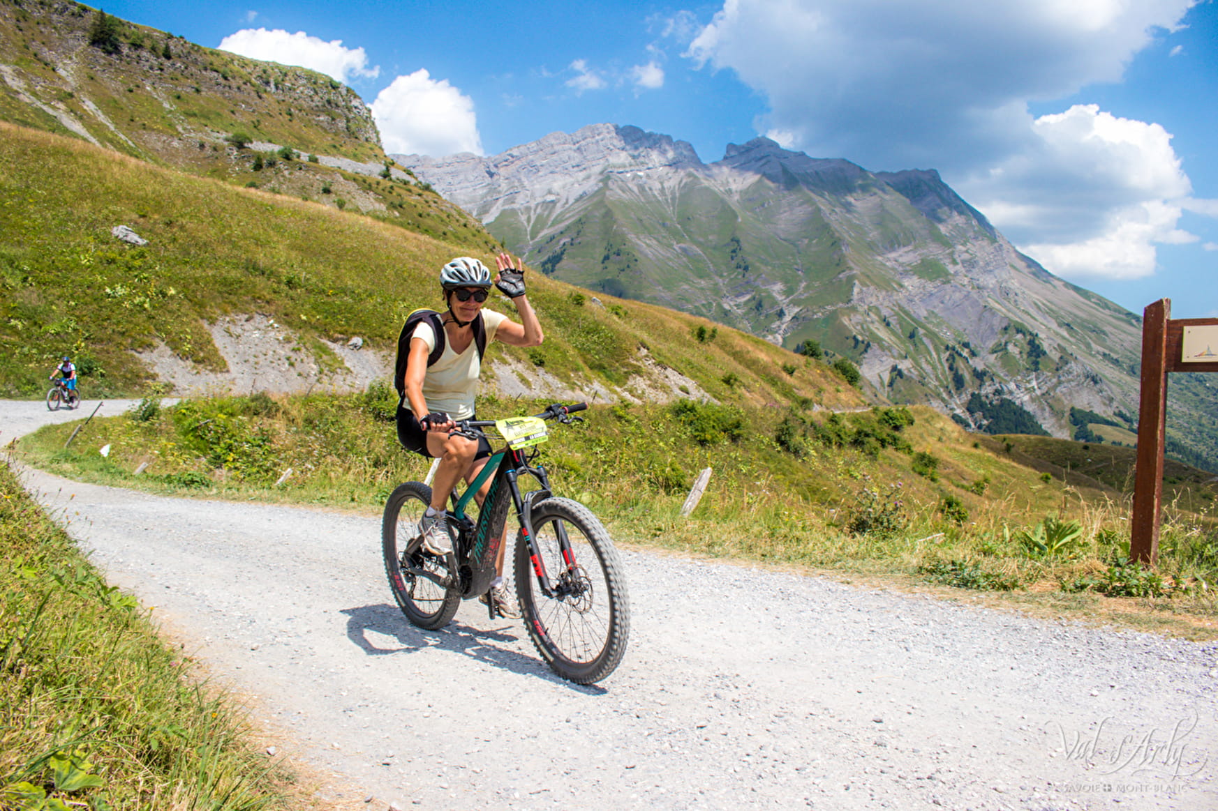
Throughout this tour you will enjoy the magnificent views of the Mont-Charvin.
Sport Circular route "Bogneuve" FFC n° 62 Saint-Nicolas-la-Chapelle
About

1 5


Prices
Free of charge. Map of trails in sale at the Tourist Office at 2,50 €.
Methods of payment accepted : Cash
Period of practice
From 01/06 to 01/10.