• Sport

Chemins Du Soleil

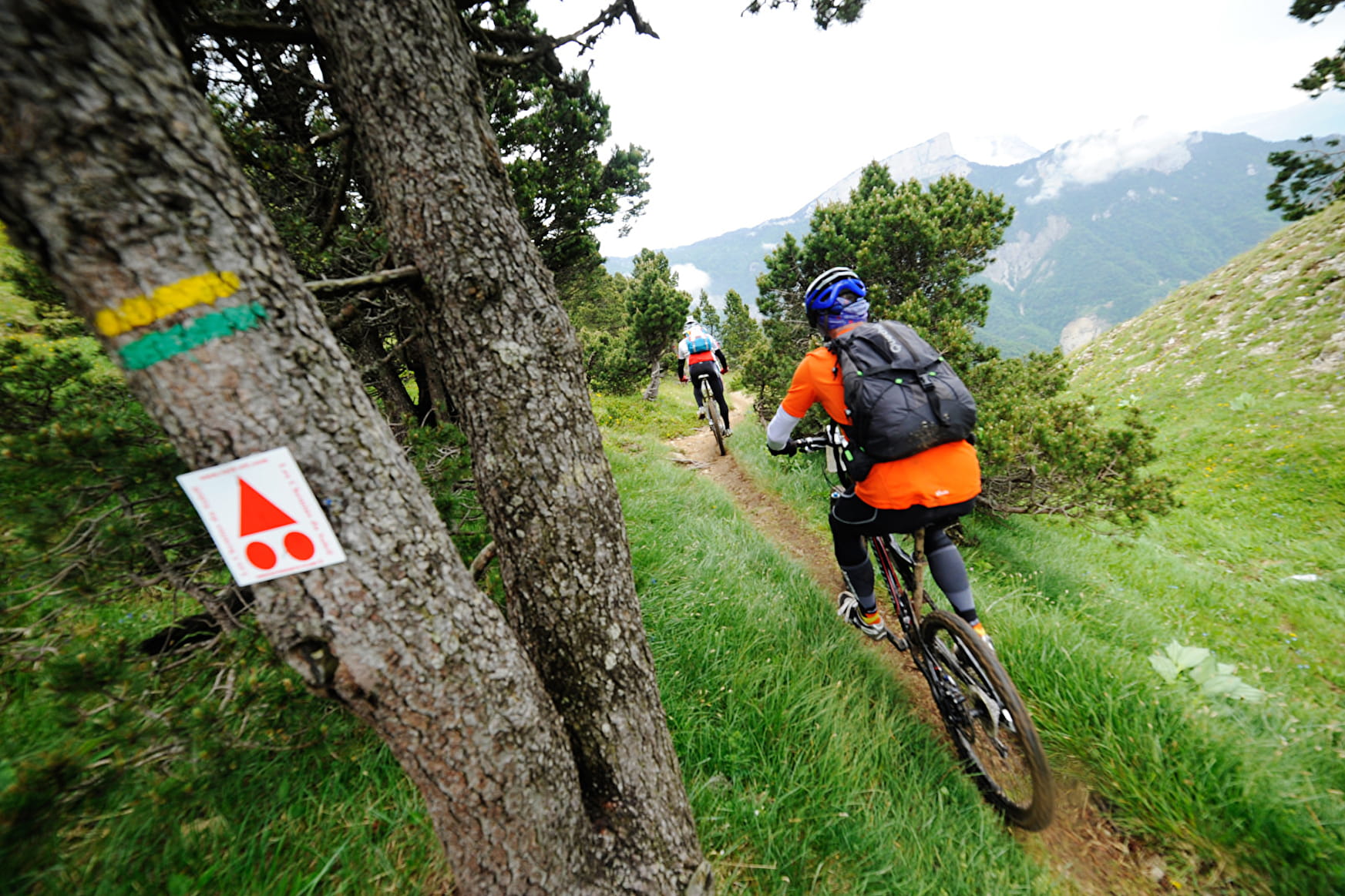
Sport Chemins Du Soleil Thonon-les-Bains

About

Departing from Thonon-les-Bains (74200)
Average length : 08h00
Duration of the itinerary : 20 Days
Total elevation gain : 37780m
Vertical drop : 30052m
Distance : 1500km
Signed walking trail

Itinerary
Total elevation gain : 37780m
Vertical drop : 30052m

Further informations

Rock, Stone, Ground, Grit

Prices

Free access.

Reception

Languages spoken : French

Period of practice

All year round.

Subject to snow conditions.

Access

490 chemin de Bordelière 38700 Le Sappey-en-Chartreuse 74200 Thonon-les-Bains
Departing from : Thonon-les-Bains (74200)
Latitude : 46.373565 - Longitude : 6.477635
Information update on 11/12/2023 by Auvergne-Rhône-Alpes Tourisme