We recommend that you take a snack or picnic to Poingt Ravier for a pleasant break. There are benches next to the chapel. From this vantage point, turn towards Crêt du Mélèze, where you may spot chamois and deer.
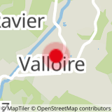
To activate geolocation, click on the map icon.
- Sport
Balade à Poingt Ravier
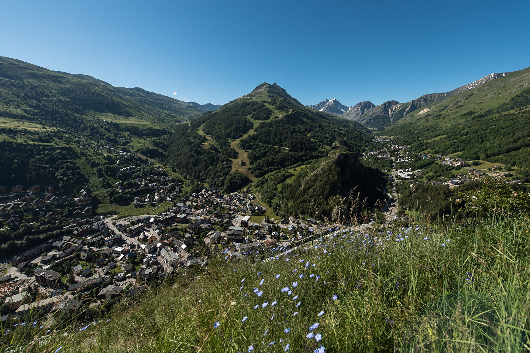
This easy route is ideal for families and beginners who wish to take a walk mainly on a small road. The view from the chapel of the hamlet of Poingt Ravier is remarkable.
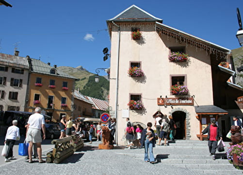
Sport Balade à Poingt Ravier Valloire
About

Topoguides references
Valloire hiking and mountain biking map.
Further informations
Ground, Hard coating (tar, cement, flooring), Grit
1 3


Precautions:
- The routes you take are your own responsibility. You must choose a route adapted to your physical and technical capacity. If in doubt, do not hesitate to contact mountain professionals.
- Find out about the weather conditions before your departure.
- Be properly equipped to practice hiking in complete safety and deal with the vagaries of the weather.
Tell someone if you are leaving alone and prefer a morning departure so as not to be surprised by the night.
Prices
Free access.
Reception
Period of practice
From 17/04 to 23/10.
Subject to favorable weather.
Services
- Pets welcome
- Car park
- Free car park
- Picnic area