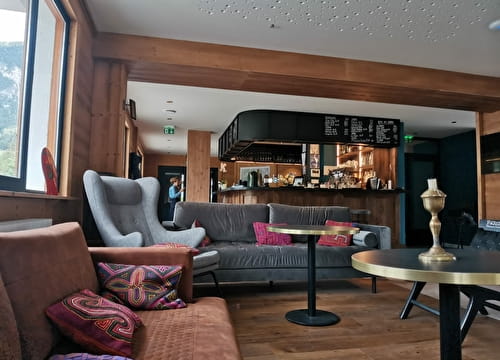
An enduro that mixes track and trail. No great difficulty for this course starting from the Vieux Moulin cable car. Ideal to get your bearings before exploring the surroundings.
46 - Enduro - Red - l'écureuil
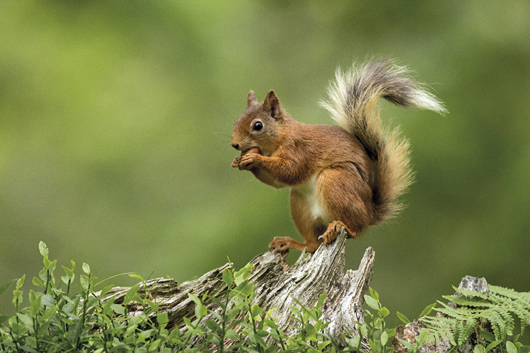
You may come across small rodents that inhabit the forest at the bend in the road: squirrels!
46 - Enduro - Red - l'écureuil Val-Cenis
About

Signs
French Cycling Federation signposting
Map references
MTB Map Haute Maurienne Vanoise sold in the Tourist Office
Topoguides references
MTB Booklet Haute Maurienne Vanoise sold in the Tourist Office
Further informations
Stone, Grit, Ground
Prices
Free access.
Period of practice
From 15/06 to 01/10.
Subject to favorable snow and weather conditions.
Contacts
Access
By car, park in the car park opposite the Vieux Moulin cable car.
During the summer season, you can take the bus line S53 (Modane - Bonneval/Arc) and get off at the "Télécabine du Vieux Moulin" stop; the bus is equipped with a bicycle trailer every day except Saturday.