This short blue trail is an ideal warm-up, beginning on a wide track before entering the forest on an MTB-friendly path that promises plenty of fun!
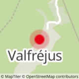
Departs from: Charmasson chairlift.
42- Enduro - Blue - Easy Rider
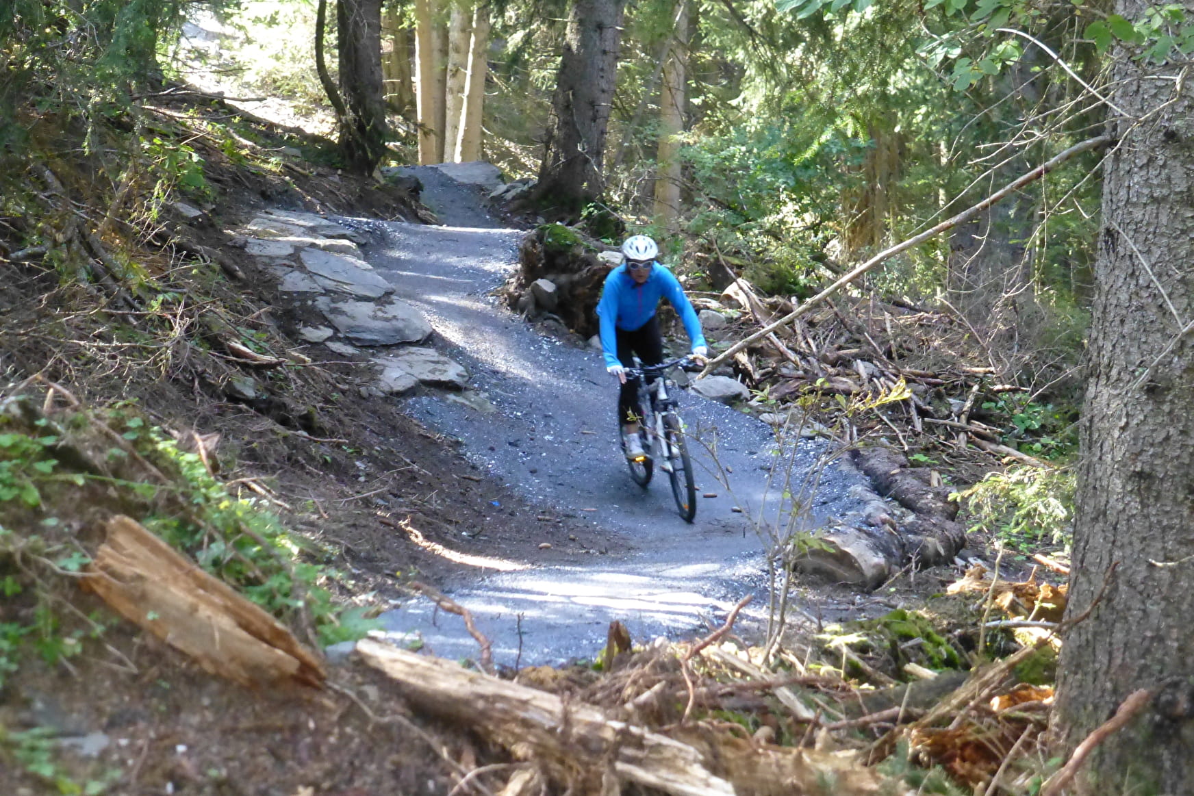
An easy trail with a fun descent through the forest. You'll want to do this one again!
42- Enduro - Blue - Easy Rider Valfréjus
About

Map references
Haute Maurienne Vanoise mountain bike map sold in the Tourist Offices
Topoguides references
Haute Maurienne Vanoise mountain bike booklet sold in the Tourist Offices
1 1

Prices
Free access. Take a ticket for the chairlift.
Period of practice
From 15/06 to 01/10.
Subject to favorable snow and weather conditions.
Contacts
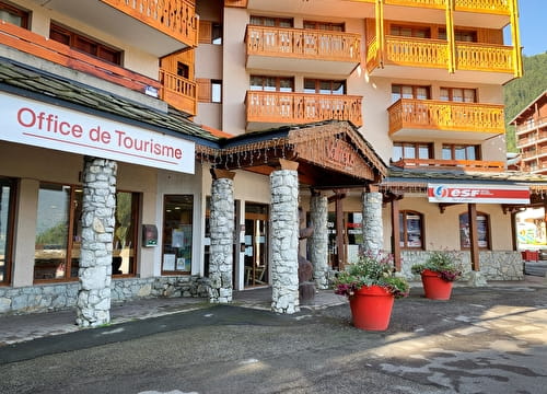
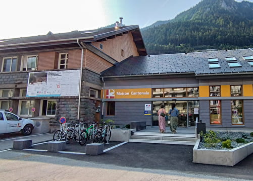
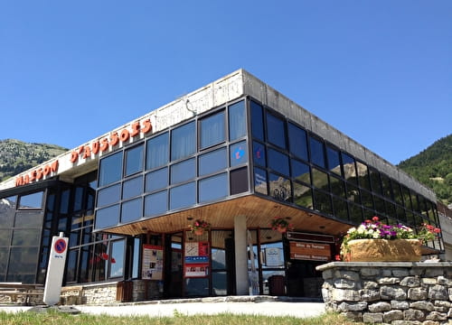
Access
By car, park in the car park near the Valfréjus Tourist Office.