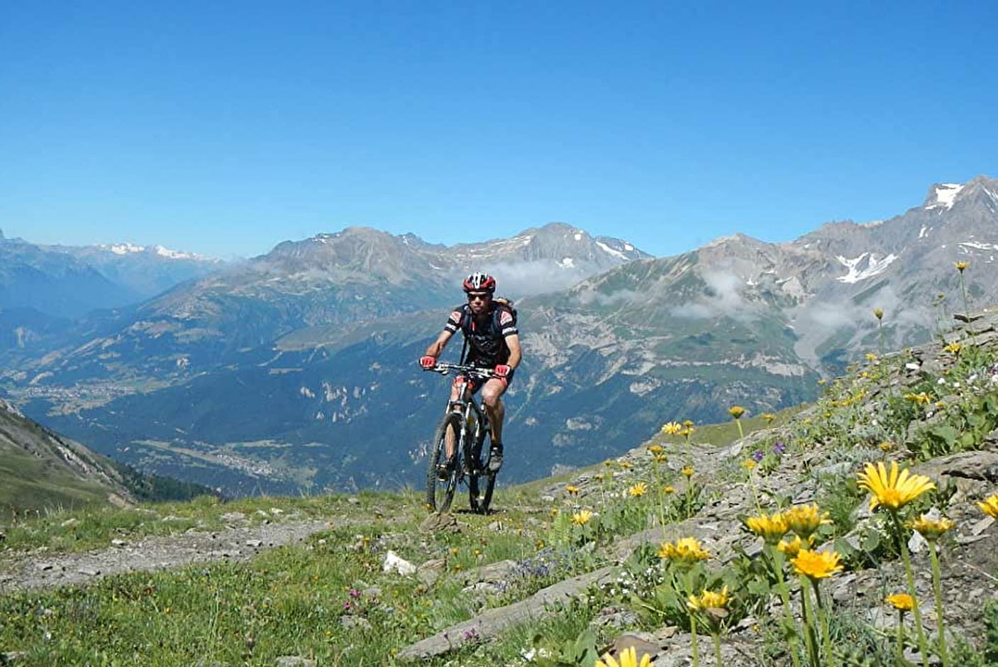
The path climbs with a 400-metre elevation gain up to Arponts plateau which offers a superb view: Mont Cenis and the Italian border opposite and, on your right (as you reach the plateau), some of the highest Vanoise peaks, including Dent Parrachée, and a bird's-eye view of the village of Aussois. Definitely worth the climb, and now it's downhill all the way, following a section of the Evita-Carnéa Enduro trail back down to Aussois.
Departs from: Plan de la Croix or Val Cenis Sardières
4 - Cross-country - Red - Les Balmes
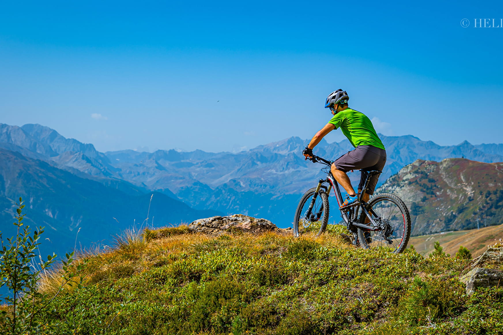
A cross-country trail in Haute Maurienne Vanoise-style with a regular climb, great views and a lovely singletrack descent.
4 - Cross-country - Red - Les Balmes Aussois
About

Map references
Haute Maurienne Vanoise mountain bike map sold in the Tourist Offices
Topoguides references
Haute Maurienne Vanoise mountain bike booklet sold in the Tourist Offices
Further informations
Ground
1 1

Prices
Free access.
Period of practice
From 01/05 to 01/11.
Subject to favorable snow and weather conditions.
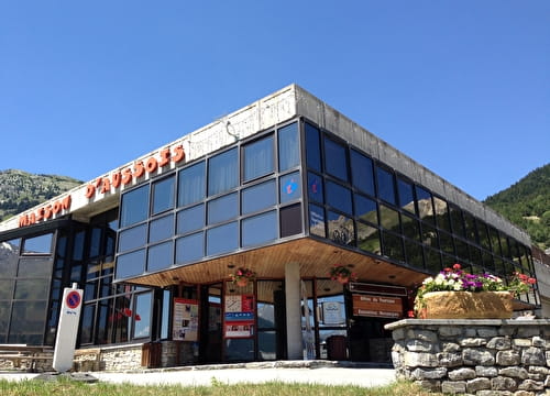
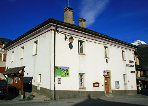
Contacts
Access
By car, park in the Aussois La Croix car park (at the exit of Aussois in the direction of Sardières).
During the summer season, you can take the bus line S52 (Modane - Aussois - Lanslebourg) and get off at the "Le Centre" stop; bus equipped with a bicycle trailer every day except Saturday.
It is also possible to leave from Sardières: park at the church car park or get off at the "Eglise" stop.