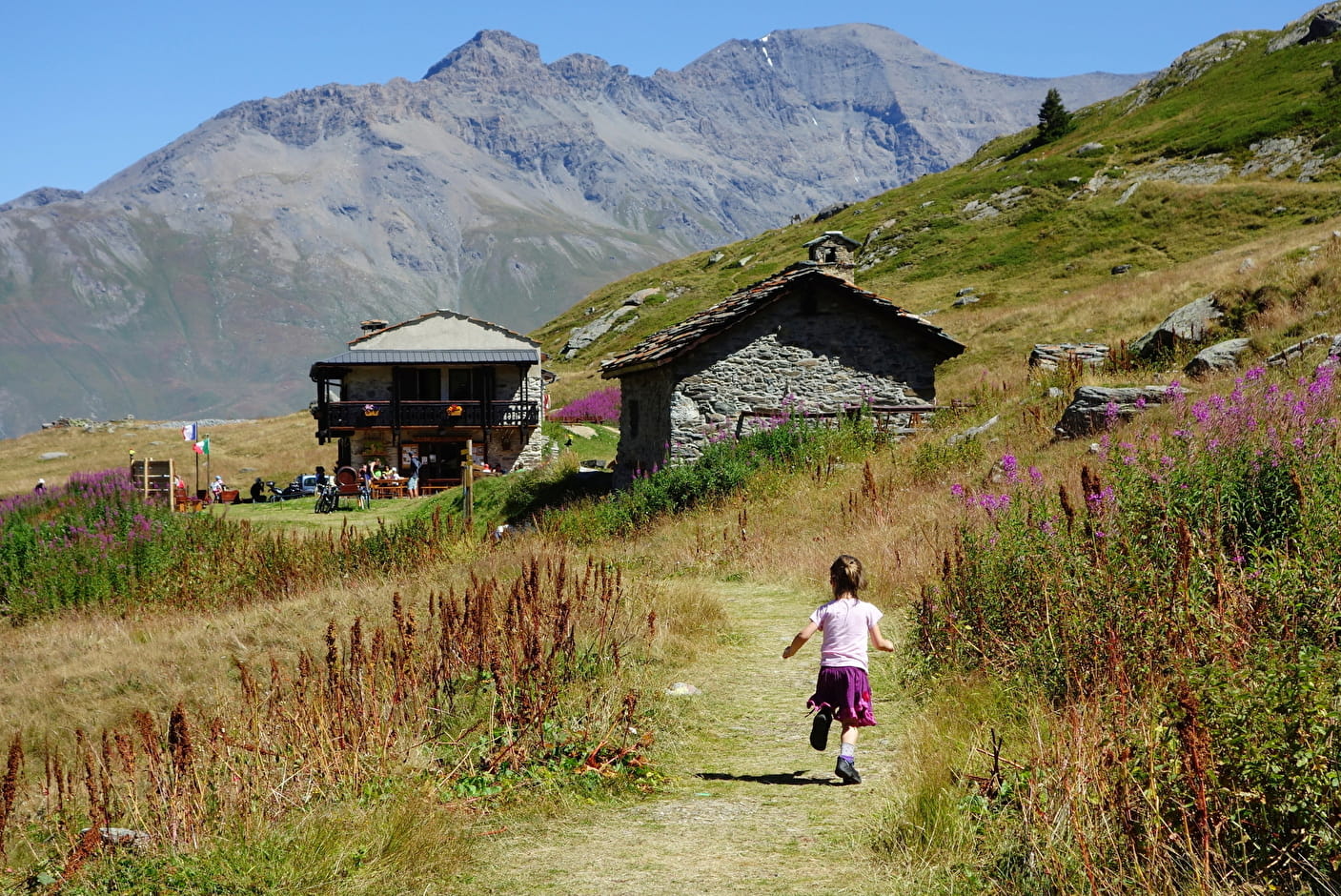
This old alpine farm, restored by the Charon family and transformed into a refuge, is perfectly well thought out. Located on an open plateau, in the middle of cows and marmots, the refuge is the starting point for many marked hikes, of all levels, which can be advised by the keepers.
The whole team welcomes you and offers you the traditional "diots-polenta" every day.
The refuge has 7 dormitories ranging from 2 to 10 beds.
- Refuge
Refuge Le Petit Mont Cenis
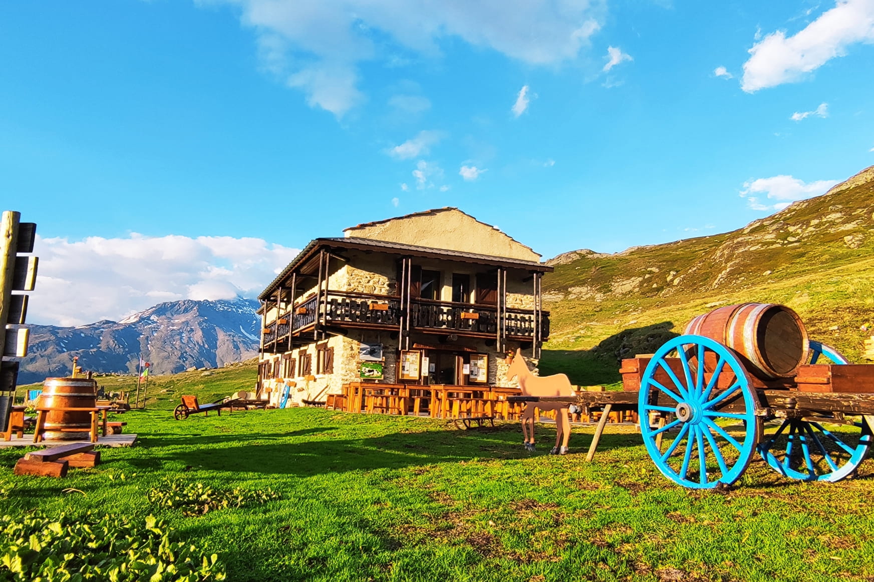
Located at an altitude of 2110 m, this former alpine farmhouse renovated in 1987, located on the Petit Mont Cenis plateau, is the starting point for many hikes of all levels.
Lunch and dinner, accommodation in small dormitories.
About
1 12


Prices
Night: from 16 €
Breakfast: 7 €
Picnic to take away: from 10 €
Dinner: from 15 €
Half board (pp): from 38 €
Half-board (child) (1-10 years): from 28 €.
Tourist tax: 0.83 € / night / adult person.
Tax not included.
Methods of payment accepted : Check, Cash
Reception
Permanent catering: Diots, polenta and pancakes.
Access to the refuge: Biotope decree area: dogs allowed on a leash. In the refuge: dogs allowed in the large hall; not allowed in dorms.
Opening
From 08/06 to 08/09.
Services
- Pets welcome
- Full-board
- Breakfast
- Bivouac
- Half-board
- Restaurant
- Picnic hampers
- Covered picnic area
- Terrace
- Car park
- Equipment store closed
- Restaurant
- Hot showers
- Pay shower
Detail
Total capacity of the units of accommodations : 53
Types of accommodations : Mountain chalet, Old building
Array
Contacts
Access
It can be reached by car via the Mont Cenis pass in 20 minutes (parking 200 m) from the refuge or 1h15 on foot from Planay (above Bramans), by the Chemin de la Crosta: 2 hours walk, 500 m drop, starting altitude 1600 m, arrival altitude 2110 m, difficulty at La Lauzière over 300 m of trail. Marked trail with signs.
Cartographic references:
IGN map: Top 25 - 3634 OT Val Cenis Charbonnel.
In winter impossible to access: risk of avalanche, refuge closed.