Les Hauts de Montalbert - Level: challenging
Distance: 9.8 km
470 m elevation gain /470 m descent
- Sport
Trail running route - Les Hauts de Montalbert
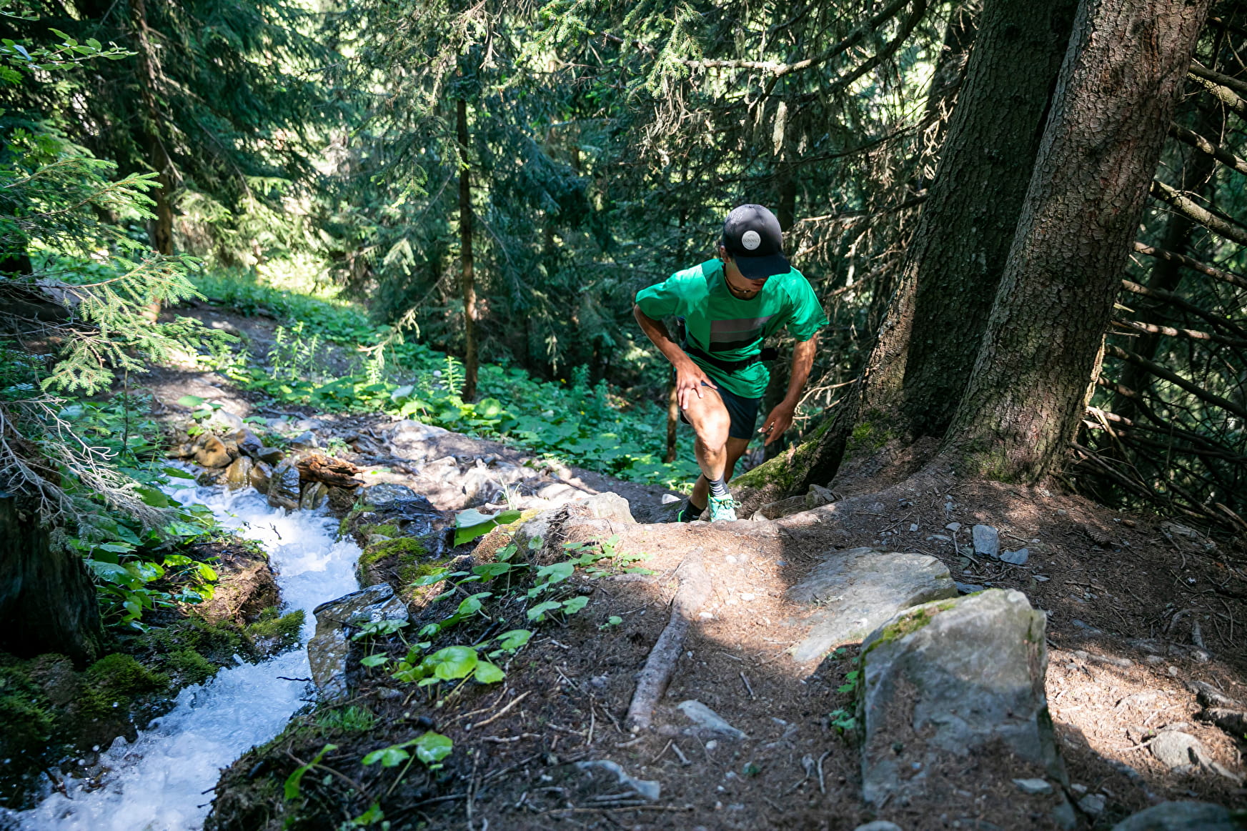
Discover an unspoilt route through forest and Alpine pastures that combines all of the characteristics of trail running: climbs, descents, rolling sections and steep paths.
Sport Trail running route - Les Hauts de Montalbert Plagne-Montalbert
About
1 2


Starts from the end of the car park at the top of Montalbert.
1/ Follow the forest road for a few hundred metres
2/ Branch off to the right to join a path that climbs to Bief Bovet stream.
3/ Then head west again at the top of Dou de la Ramaz to reach the hamlet of La Maignonne.
4/ You come in to a small valley where the trail starts to descend and follow the stream before heading north to the hamlet of Montgésin.
5/ Return to Montalbert on the wide track that goes through Les Teppes woods.
Prices
Free access.
Reception
Period of practice
From 15/05 to 15/11.
Services
- Pets welcome
Contacts
Access


