Mont Jovet - Difficulty: Very challenging
Distance: 19 km
1,180 m positive/negative elevation
Starting from the top of Montalbert gondola
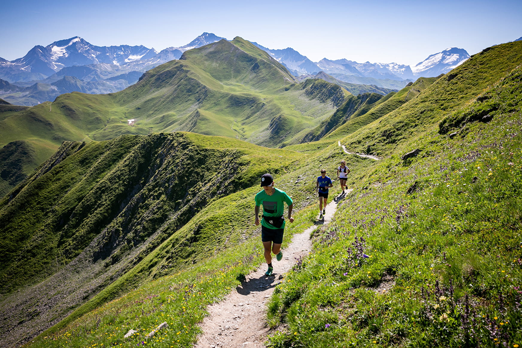
Beautiful route over the ridges with panoramic views of the surrounding mountains. You will set foot on two of the region’s iconic summits: Mount Jovet (2,558 m) and Bécoin (2,594 m). Please note that the trail is not signposted on the ground.
- Sport
TRAIL Route - Mont Jovet
Starting from the top of Montalbert gondola.
Beautiful route over the ridges with panoramic views of the surrounding mountains.
Sport TRAIL Route - Mont Jovet Plagne-Montalbert
About
1 4


After departing from the top of Montalbert gondola.
1/ A few hundred meters on a mountain track gets you warmed up before you take on the main task – climbing to the top of Jarset.
2/ Follow the ridgeline before turning into a valley alongside Lake Bovet. Several bends later, you’re at the summit of Mount Jovet (2,558 m) from where you follow the ridge to Bécoin (2,594 m).
4/Then begins the long descent into the beautiful valley of Etroits, passing below the starting point and continuing on to the hamlet of Adrets.
5/ You take the rolling trail to Bief Bovet before returning to the Chalets de Praliouds for the final climb back to the starting point.
Prices
Free access.
Reception
Period of practice
From 15/05 to 15/11.
Services
- Pets welcome
- Accessible via ski lift
Contacts
Access


