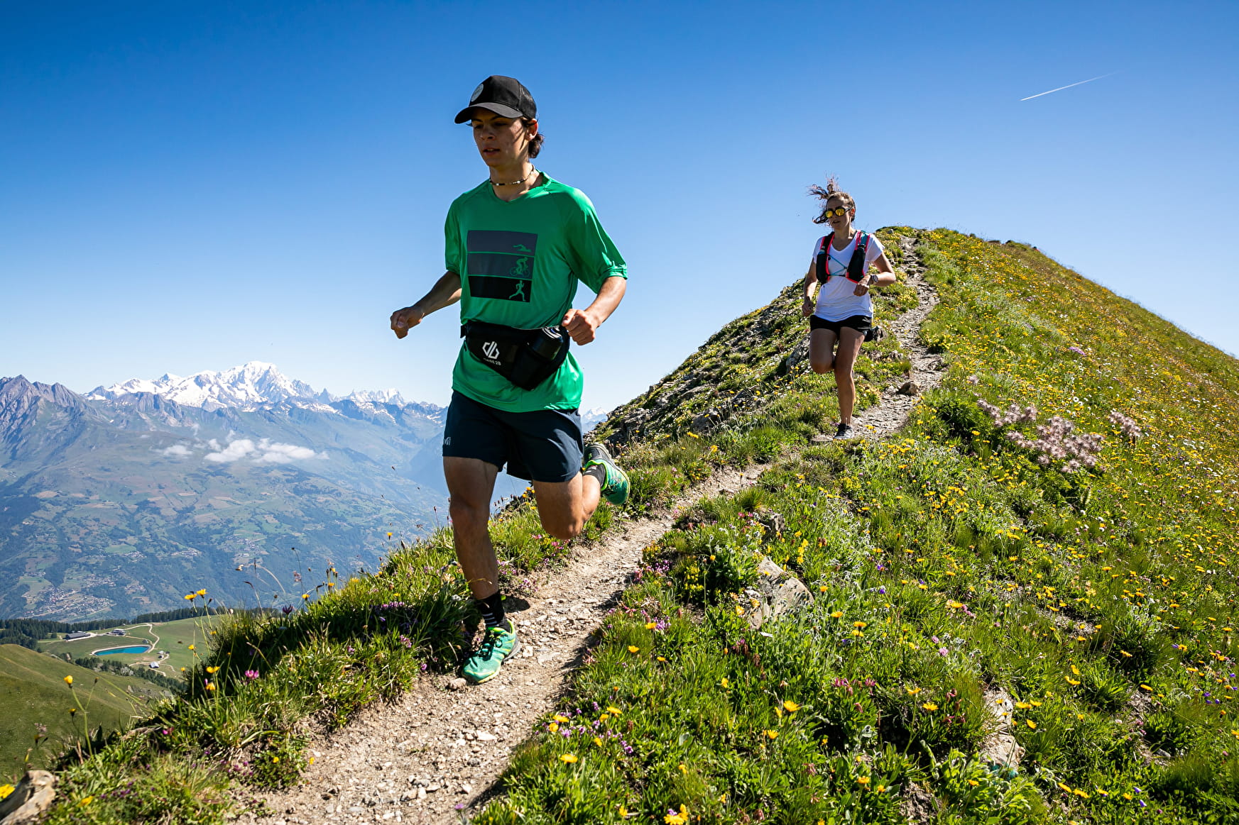
Route Trail: The 6D Laks - Difficulty: Very challenging
Distance: 27.7 Km
1600 m uphill/1600 m downhill
Departure from Plagne Bellecôte
3,2,1, go! Slip into the running shoes of a competitor in one of the legendary 6000D events. Warning: the trail is not signposted on the ground.
The route starts at Plagne Bellecôte (accessible by free shuttle) and climbs up to the Dou du Praz plateau along a public footpath as far as la Fruitière.
It then continues on a paved road to Lac des Blanchets. From there, it takes a little path overlooking the lake and joins a tarmacked road to the top of the Roche de Mio and the Col de la Chiaupe. From the pass, you descend via the Dérochoir to Plan Bois and from there one last climb takes you to the summit of the Arpette.
You finally descend to Belle Plagne and Plagne Bellecote along trails through alpine meadows.
- Sport
TRAIL Route - 6D Lakes
Difficulty: Very challenging
Departure from Plagne Bellecôte
Slip into the running shoes of a competitor in one of the legendary 6000D events.
Sport TRAIL Route - 6D Lakes La Plagne
About
Prices
Free access.
Reception
Period of practice
From 29/06 to 31/08/2024, daily.
Services
- Pets welcome
Contacts
Access
Free car park in Plagne Bellecôte, the cross the main building to find the start of the trail on the Ours Square.
You can use the free buses from Plagne Centre or Plagne 1800.
