
The song of the tits calls out to you the moment you enter the forest, at the top of the Pont des Chèvres chairlift. Interspersed with high-altitude clearings, the first part of your journey is so serene you almost forget you're going uphill. Cross through the Revet forest under the watchful eye of La Turra fort, perched at an altitude of 2,507 m. Passing the Madeleine stream, you enter Vallon de Cléry. Take a break at Chalet Suiffet, where time stands still, before starting the descent. Did you know that, as you go down to the village, you'll be walking in the footsteps of the "elders"? In the past centuries, so much hay has been transported along this Ramasse trail that your descent on the "fast path" takes on all the charm of tradition.
- Sport
Trail du chemin de la Ramasse
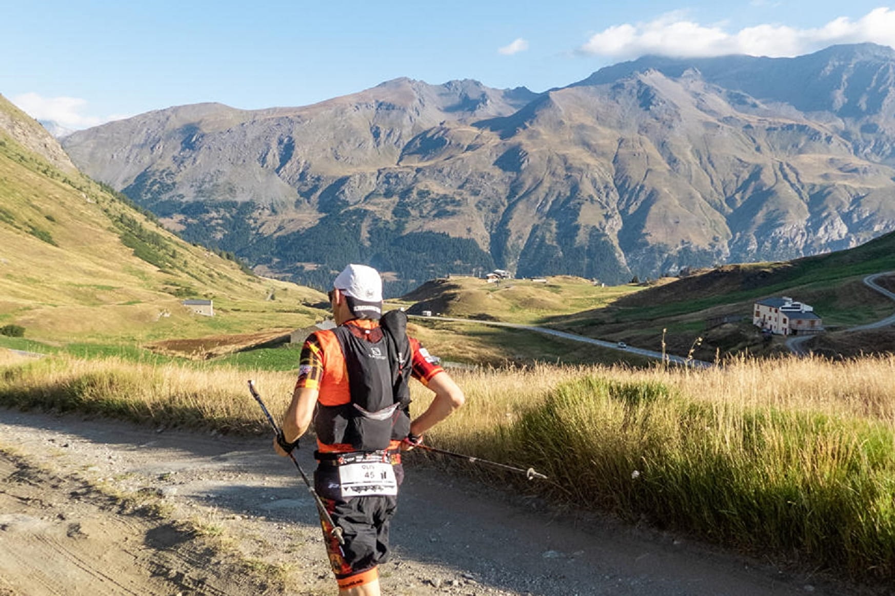
On a hot summer day, there's nothing better than a hike through the mountain forest to cool off. Discover the ski resort's summery side as you set off in search for new thrills.
Sport Trail du chemin de la Ramasse Val-Cenis
About
To guide you in the field, consult the "step-by-step" directional diagram provided in pdf.
Prices
Free access.
Reception
1/ How is trail running time calculated?
Trail times are calculated on the basis of reference paces for a regular runner who practices running on average 1 or 2 times a week.
600m/h ascent in altitude
900m/h ascent on descent
9km/h on the flat
2/ Using GPX tracks
As hazards may occur at any time on the routes, the GPX tracks provided are not contractual. They are given for information only. Riders use them at their own risk, depending on their level of technological proficiency and their understanding of the terrain.
Pets allowed on leash only.
Period of practice
From 01/06 to 15/10.
Subject to favorable snow and weather conditions.
Services
- Pets welcome
- Restaurant
- Public WC
- Parking nearby
- Charging stations for electric vehicles
Contacts
Access
By bus: Line S52 or S53 - Tourist Office stop.
By car: park in the Gendarmerie parking lot.