Do you know the Charmaix torrent?
Very persistent, it springs from an altitude of 2,500 metres and flows straight
from the Sainte-Marguerite lakes to near the Thabor refuge, sometimes
as a stream, sometimes as a torrent. It seems to take pleasure in rushing
down, eroding, carrying everything in its path, as it goes through the Losa
and Lavoir dams all the way to the alpine hamlet of Herbiers to refresh you
– even reaching the Tavernes lodge!
There's no doubt about it, you're at one of greatest historical sites of
hydroelectricity in Haute Maurienne Vanoise…
And if luck, along the torrent, is with you, you might see a few trout lurking
about the stream. Open your eyes and... be patient! These shy creatures like
hide among the stones on the riverbed.
- Sport
Trail des herbiers
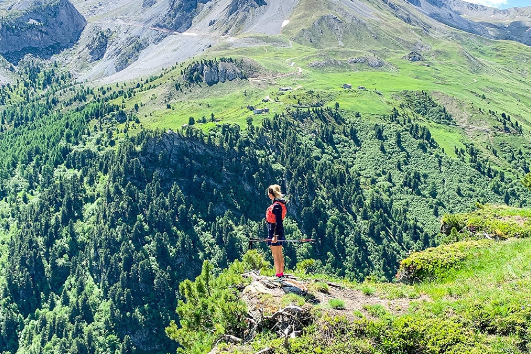
Woody fragrances and the certainty of a cool walk accessible to all. A
typical walk through the forest in Valfréjus, that you can do again and
again whatever your age. It's the perfect chance to get acquainted with
the GR5, a circuit cherished by countless hikers.
About
Prices
Free access.
Reception
1/ How is trail running time calculated?
Trail times are calculated on the basis of reference paces for a regular runner who practices running on average 1 or 2 times a week.
600m/h ascent in altitude
900m/h ascent on descent
9km/h on the flat
2/ Using GPX tracks
As hazards may occur at any time on the routes, the GPX tracks provided are not contractual. They are given for information only. Riders use them at their own risk, depending on their level of technological proficiency and their understanding of the terrain.
Period of practice
From 15/05 to 15/10.
Subject to favorable snow and weather conditions.
- Pets welcome
- Parking nearby
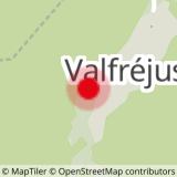
Contacts
Access
By bus: Line 1 - Tourist Office stop
By car: Park in the parking lot in front of the Valfréjus Tourist Office.