
When you leave the village, you'll notice a few different kinds of insects along the path. Between the roots of Scots pines, you can see lines of ants bustling about as you feel the warmth of beautiful spring days on your face. In the height of summer, your first stop at the St-Laurent chapel is a strange experience, as though you're "in the middle of nowhere". The Burel stream appearing at the beginning and end of the climb makes the ascent seem short. Get your breath back on the track, sometimes frequented by the 4x4s of mountain farmers. The magical descent through the woods plunges you into a whole new world. Perhaps you'll take an unplanned stop by the Pichet stream to cool off. Now you find yourself in a valley echoing with marmots' whistles. It's also a sign that you've arrived in the village. Can you hear the Diet waterfall behind you?
- Sport
Trail de la boucle de l'Adroit
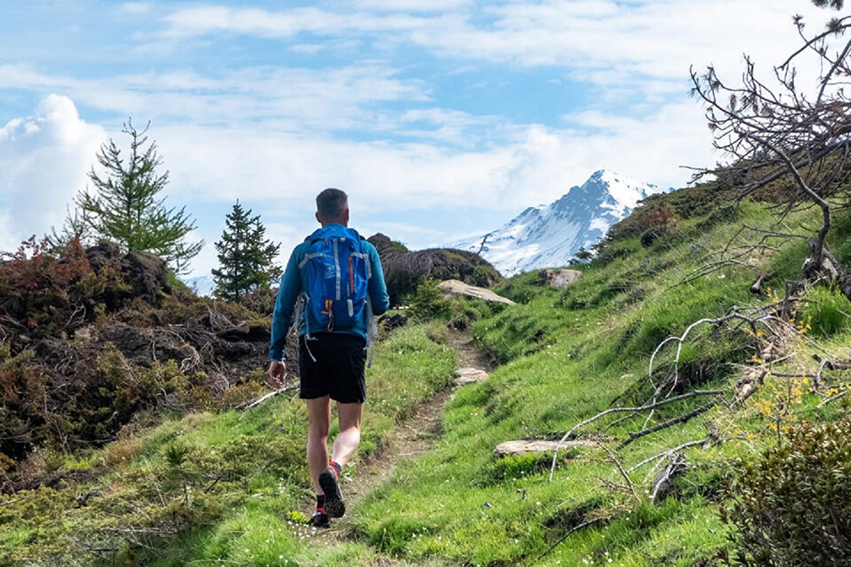
Discover little-known natural and cultural treasures. This trail is great for those seeking a few hours of adventure and it's also perfect for those just starting out in trail running. Among the pine forest, meadows and torrents, each can find their own pace.
About
To guide you in the field, consult the "step-by-step" directional diagram provided in pdf.
Prices
Free access.
Reception
1/ How is trail running time calculated?
Trail times are calculated on the basis of reference paces for a regular runner who practices running on average 1 or 2 times a week.
600m/h ascent in altitude
900m/h ascent on descent
9km/h on the flat
2/ Using GPX tracks
As hazards may occur at any time on the routes, the GPX tracks provided are not contractual. They are given for information only. Riders use them at their own risk, depending on their level of technological proficiency and their understanding of the terrain.
Pets allowed on leash only.
Period of practice
From 15/05 to 15/10.
Subject to favorable snow and weather conditions.
- Pets welcome
- Parking nearby
- Charging stations for electric vehicles
Contacts
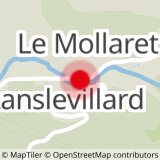
Access
By bus: Line S53 - Pont bus stop.
By car: park near the Lanslevillard Tourist Office.