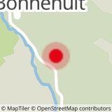
To activate geolocation, click on the map icon.
- Sport
Trail Bonnenuit - Col du Galibier
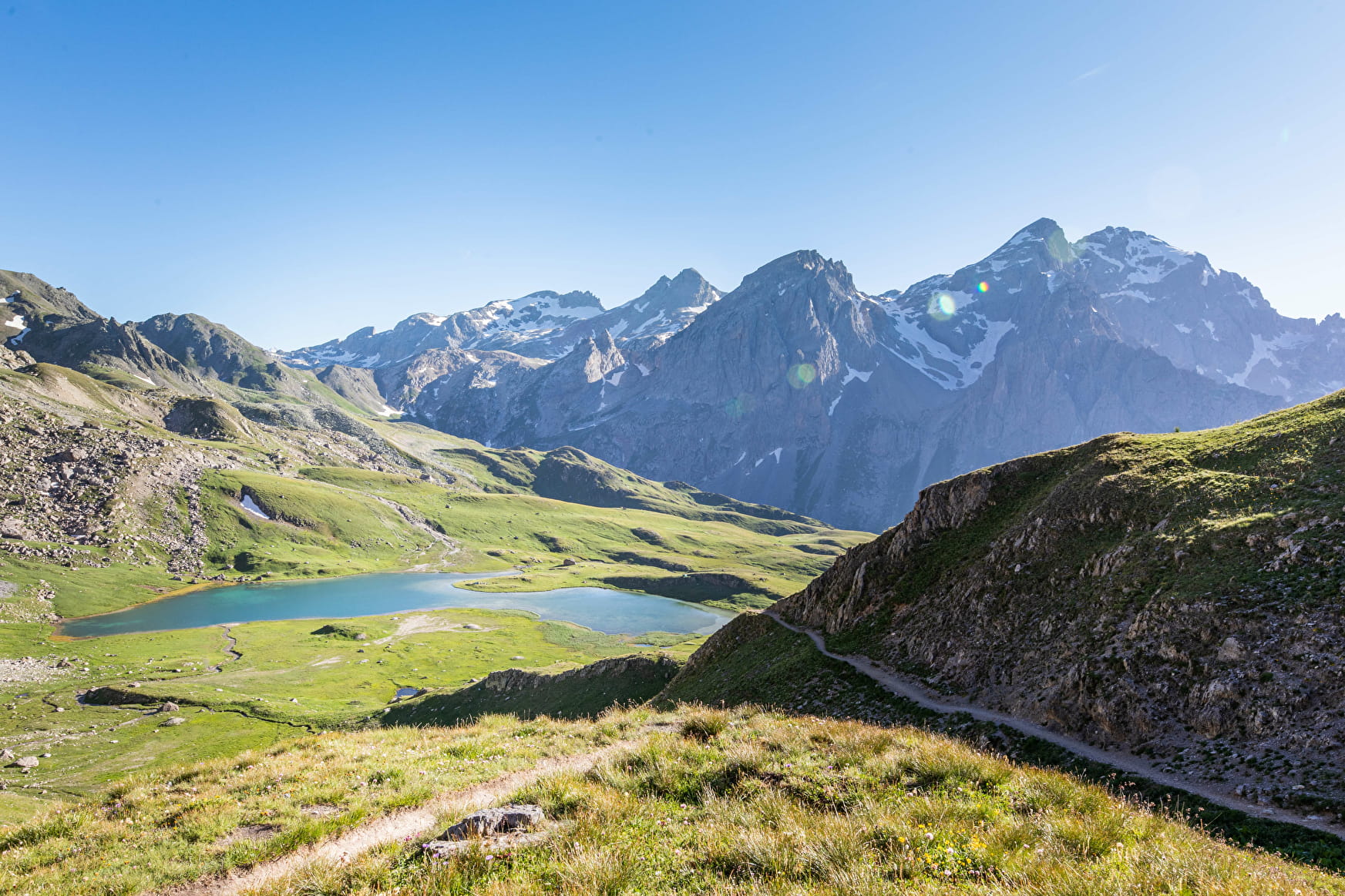
This route is a part of the Trail du Galibier route. Quite difficult, it is aimed at experienced trailers. You will be immersed in a majestic alpine environment and will pass by 3 high altitude lakes.
Sport Trail Bonnenuit - Col du Galibier Valloire
About
Departure from Hameau de Bonnenuit. 1- Follow the path up to Plan d'Orient. 2 - After descending the Col de la Paré, you cross the Rochilles military camp. 3- Skirt around the Grand Ban lakes and Lac Rond to pass over the Col des Cerces and return to Le Mottets (possibility of ending the circuit here and returning to Bonnenuit via Plan Lachat). 4- Descend via the 4x4 track before forking off onto a single on the left, a few metres after the small roadside chalet. 5 - Descend then climb back up to reach the Col du Galibier. 6 - From the Col du Galibier, start the descent to La Lauzette. 7 - Follow the path back to Bonnenuit.
Prices
Free access.
Reception
Period of practice
From 31/05 to 15/10.
Subject to favorable weather.
Contacts
Access
