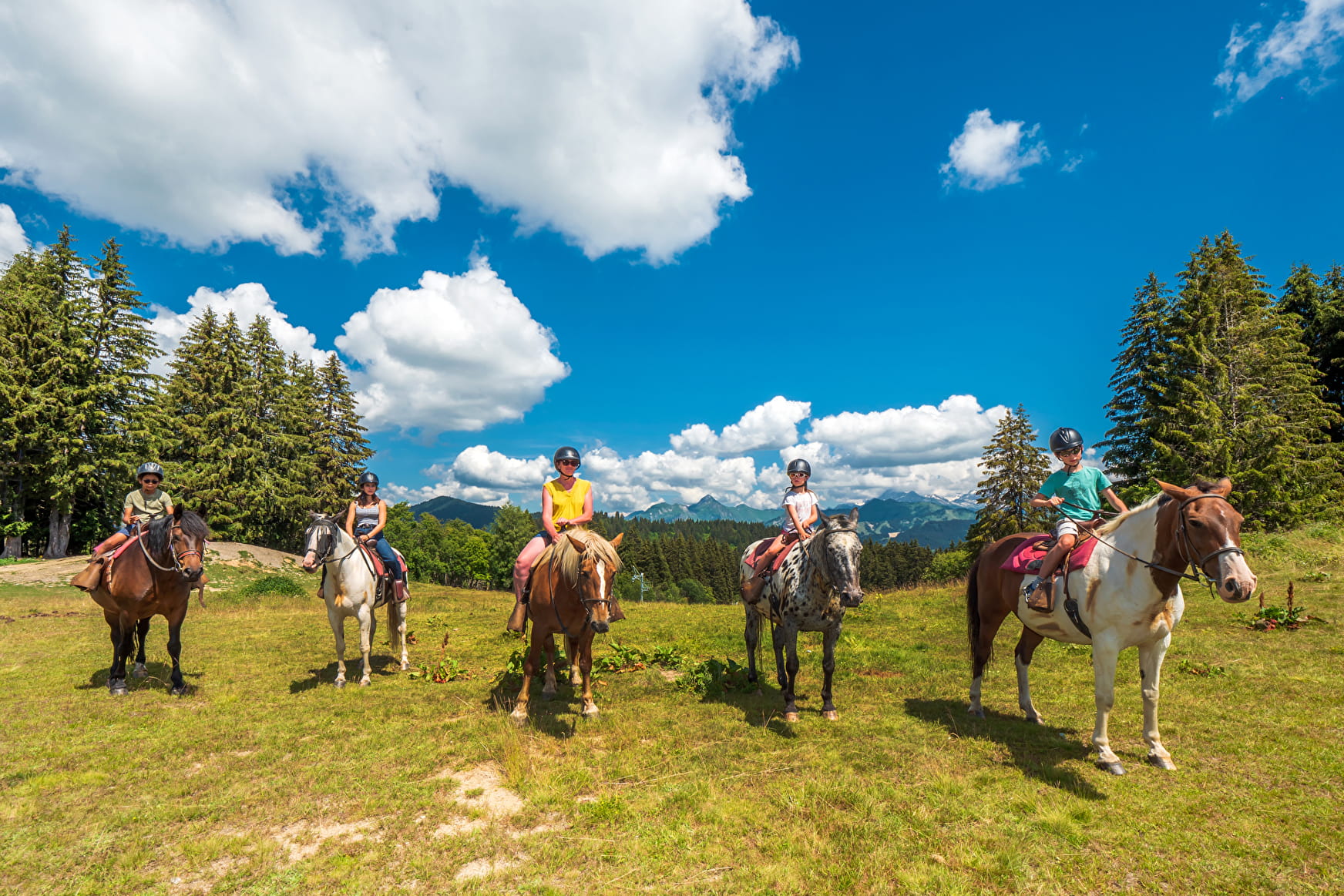
Stone path trail Taninges - Praz de Lys on horseback
These stones were laid using techniques developed by the Romans. The path was first used in the Middle Ages by the monks from the Chartreuse de Mélan monastery to reach the Praz de Lys pastures 1,000 m further up. For a long time, this was the only access to Praz de Lys.
About
From the Fermes des Villards, head towards the centre of Taninges, then follow the Montée du Sapeur (“Praz de Lys stone path”) along a small tarmac road and then a footpath. The stone path leads through the forest before reaching Pontet, perched at a height of 1,300 m. The path then continues through the Praz de Lys alpine pastures where you can decide whether to continue up towards Grand Planey and the Pic de Marcelly, or head to the centre of the resort. You can, if you wish, walk up to Praz de Lys and return via the same route. The landscapes along the way are very varied, taking you through villages, forests and pastures. You'll also get to enjoy some magnificent views of the Mont-Blanc and Chablais mountain ranges, from the top of Taninges and Praz de Lys
Reception
Period of practice
From 15/05 to 15/09.
Contacts
Access
