- Sport
Ridgeline hike: 26km
This long, strenuous, technical hike has quite a bit of vertical gain.
Detailed description at the Tourist Office.
About
1. Go up the avenue du village to join the route du Plateau. Climb to the belvedere of Chollière then progress towards the hamlet of Prioux.
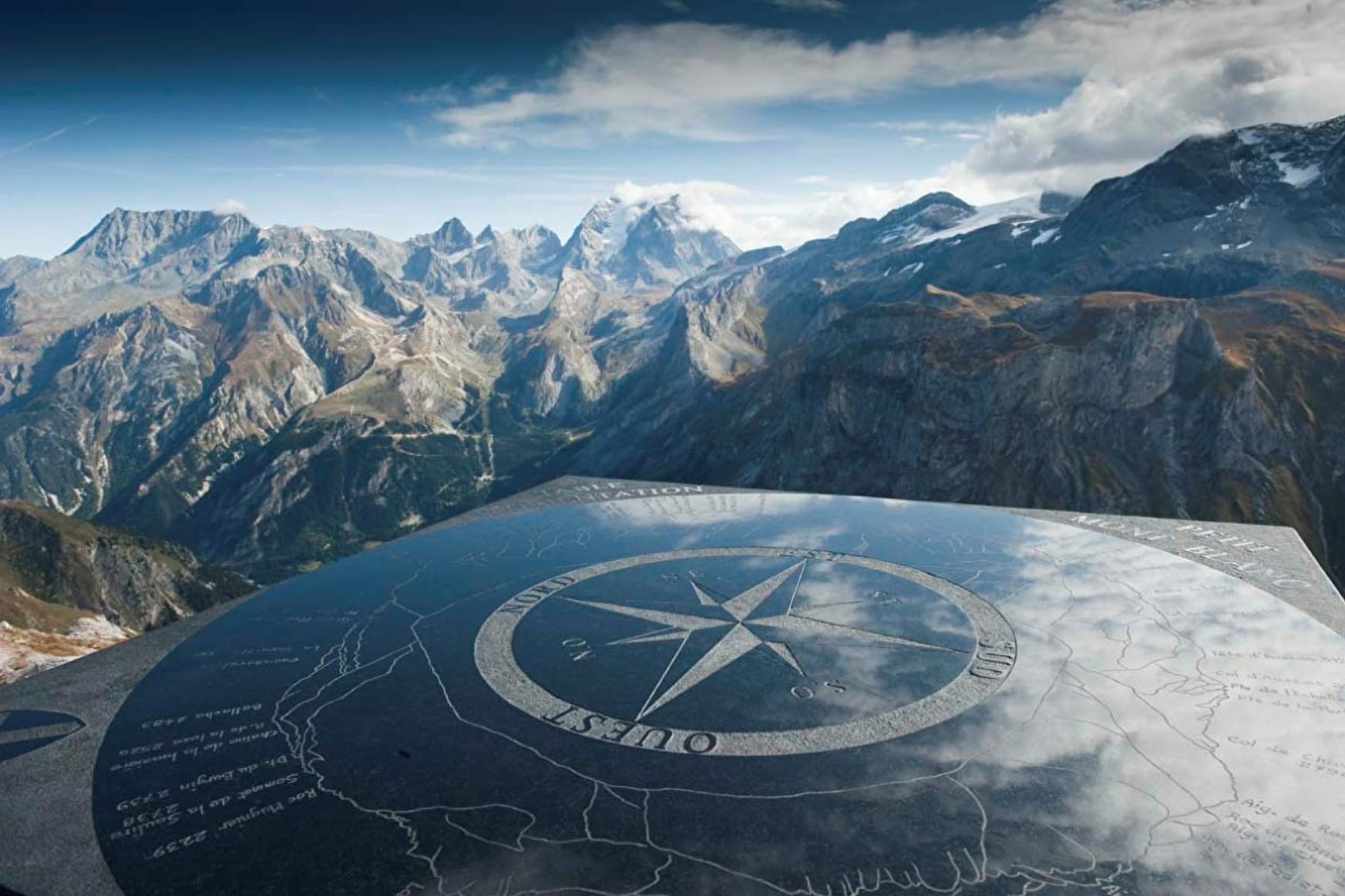
2. 100m before the entrance to the small hamlet, turn off towards the summit of Petit Mont Blanc (2677m).
3. Once at the Col du Mône, climb along the ridge.
4. Please note: further on this path, turn off and climb to the summit of Petit Mont Blanc in a round trip (exceptional viewpoint!) 5. Go back down towards the Col des Saulces, take the direction of the Col de la Grande Pierre by the Little Val.
6. Once at the pass, follow the Crêtes de Mont Charvet and take advantage of the exceptional site due to the formation of gypsum. Follow the ridges to the Col du Golet.
7. From there, go down via all the hamlets of Mont Charvet and La Montagne to take the forest road suitable for vehicles throughout the descent to Pralognan.
Prices
Free of charge.
Reception
Period of practice
From 15/05 to 01/11.
Depends on snow conditions.
- Pets welcome
Contacts
Access
Nearby car park: Bouquetin car park
