
The Leisse torrent awaits you just after you pass the Entre Deux Eaux refuge. On the left bank, the GR®55 and the Via Alpina invite you to embark on journey through what truly feels like the "end of the world". Enter a world of waterfalls and lush green alpine pastures. Here, sheep and cows share the tender grass to produce their best milk for you. Will Bleu de Termignon and Beaufort be on your picnic menu? At your own pace, continue along the valley floor. Here, you'll find the many waterfalls that come cascading down from the Grand Casse peaks, at over 3,500 metres of altitude. The distant whistles of marmots accompany you throughout the journey. As you gaze up at the clear sky, you might catch a glimpse of the Bearded Vulture, often to be seen gracefully soaring on warm air currents. Filled with a sense of the infinite, you walk on and soon find yourself perched at 2,487 meters, ready to savour a treat at the mountain refuge. And if you feel like it, why not spend a night there? The return to the Bellecombe car park will be even more enjoyable after all the distance you've covered.
- Sport
Refuge de la Leisse Trail
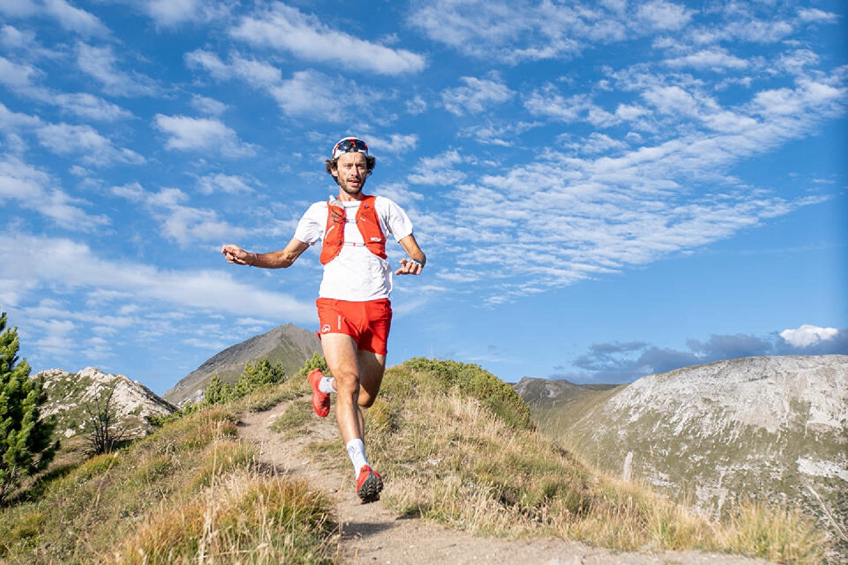
Step into an unspoilt valley at the foot of the Vanoise glaciers. Try a stopover in a mountain refuge, amidst lush meadows and wild fauna. Whether by day or by night, the experience will give you a taste of the high-altitude atmosphere in total safety.
About
To guide you in the field, consult the "step-by-step" directional diagram provided in pdf.
Prices
Free access.
Reception
1/ How is trail running time calculated?
Trail times are calculated on the basis of reference paces for a regular runner who practices running on average 1 or 2 times a week.
600m/h ascent in altitude
900m/h ascent on descent
9km/h on the flat
2/ Using GPX tracks
As hazards may occur at any time on the routes, the GPX tracks provided are not contractual. They are given for information only. Riders use them at their own risk, depending on their level of technological proficiency and their understanding of the terrain.
Period of practice
From 01/07 to 01/10.
Subject to favorable snow and weather conditions.
- Parking nearby
Contacts
Access
By bus: Line 4 - Bellecombe parking lot stop.
By car: from Termignon, take the D126 and park in the Bellecombe parking lot (fee payable July-August).