After leaving from the lake of Flumet take the PONT DE CHAUCISSE, LA LANDELIÈRE, LE PRAZ, and the VILLAGE. From there, continue the track in the direction of COMBES, MARCINELLE, LES CRÊTS, TRÉ LE SEZ, BOIS DES AVENIÈRES, to reach the panorama LES AVENIÈRES (1535m). Then take the direction of Chaucisse via SOUS LE TREU, PRAZ DES SIERRES, NANT DE CHAUCISSE, ROUTE DES MONTAGNES, then ROZETS before reaching the small hamlet of CHAUCISSE (1320m). From there, descend into the forest via LES CHOZALETS, LES RECOURBES, PONT DE CHAUCISSE and return to the PLAN D'EAU car park.
- Sport
Les Avenières
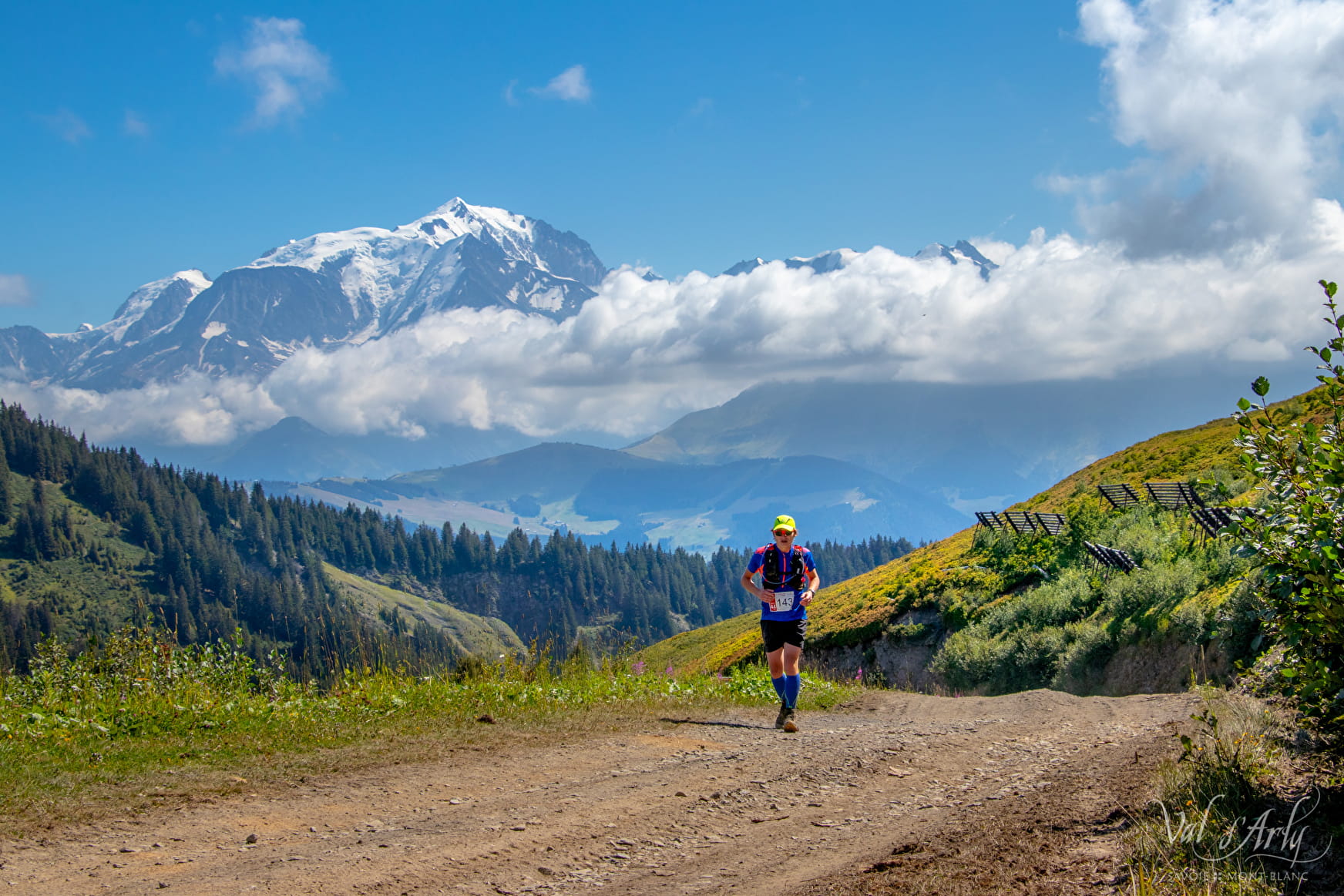
Departing from the lake of Flumet or the village of St Nicolas la Chapelle, this route will allow you to discover the exceptional panorama of Mont-Blanc and a 360° view from Les Avenières!
Sport Les Avenières Flumet
About
Prices
Free access.
Reception
Duration: between 1h30 and 3h.
Pets allowed on a leash only.
Period of practice
From 01/06 to 31/10.
Services
- Pets welcome
Contacts
Access
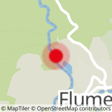
For a departure from the Flumet lake, park in the car park near the lake or in the center of the village.
For a departure from Saint Nicolas la Chapelle, park at the entrance to the village.
