After leaving from the Tourist Office, go down towards the PLAN D'EAU then take the PONT DE CHAUCISSE, LA LANDELIÈRE, LE PRAZ, and the VILLAGE. From there, continue the track in the direction of COMBES, MARCINELLE, LES CRÊTS, TRÉ LE SEZ, BOIS DES AVENIÈRES, to reach the panorama LE TREU (1835m). Then, climb to LES STALLETS, LES HAUTS DE BOGNEUVE and descend to BOGNEUVE. Again, climb towards PELOSET, and the CROIX STATA where a magnificent panorama awaits you!
Continue to arrive at SOUS LA CROIX, then attack the descent to CARRÉS. From there, take the path for CHAUCISSE, passing through LES ROZETS, LES CHOZALETS, LES RECOURBES, and finally, return to the PONT DE CHAUCISSE then the PLAN D'EAU and finish by the same route.
- Sport
Le Treu Panoramique
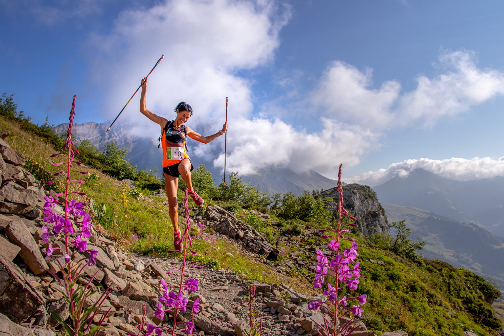
Departing from the Tourist Office in Flumet or the village of St Nicolas la Chapelle, this route will allow you to discover its exceptional panorama of Mont-Blanc and Val d'Arly!
Sport Le Treu Panoramique Flumet
About
Prices
Free access.
Reception
Duration: between 2h30 and 5h.
Pets allowed on a leash only.
Period of practice
From 01/06 to 31/10.
Services
- Pets welcome
Contacts
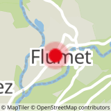
Access
Departure from the Flumet Tourist Office, parking available.
