From the Tourist Office, move towards Rue Blanche. Arrived at the Airelles roundabout, move towards the ski pass cash and take the road which passes in front of the Marolay restaurant, then continue the track in the direction of Bellard. Higher up, at the crossing, follow the direction of Col du Marolay on the right. Please note this track leading to the Marolay can also be taken by motor vehicles (4X4) and mountain bikes ... Continue the path to the top of the Col du Marolay (altitude 2004 m). Nice point of view of the Belledonne massif. Take the trail on your left (right, Foehn altitude restaurant, closed in summer) towards Bellard. Please note: narrow path bordered by sheep parks, with the presence of patous dogs. Please, observe the instructions carefully! At the top of the ridge, continue on the left the path which then leads back to the top of Carlines altitude restaurant, closed in summer. From there continue in the direction of the Ouillon to the place known as the Plan de la Guerre. Ideal site for picnics! Continuation of the ride to the tip of the Ouillon: magnificent 360 ° panorama. Go back to the Plan de la Guerre then turn right towards the "Croix de Coin Cavour", for the resort return. Go down the path towards the "Lost Valley", hideout of chamois and marmots! When you arrive at the bottom, cross the small stream and take the balcony track. Presence of a large herd of cows: you can watch the milking of the cows at the end of the day. Return resort by the road of Champions.
TO SEE / TO KNOW:
Bellard (2225m) is the highest peak in the Toussuire ski area. Beautiful panoramic view: we can see Mont Blanc.
"Plan de la Guerre": owes its name to Commander Lesdiguières, troop leader of the Dauphinoise army in the 17th century. Strategic crossing point for the French, Dauphinoise and Piedmontese armies.
The Ouillon is the connection point between the resorts of the Sybelles ski area. Superb 360 ° panoramic view. Considered one of the tallest grasses in Europe.
Souvenir photos to share on social networks with our #SYBELLES
- Sport
La Toussuire - L'Ouillon hike
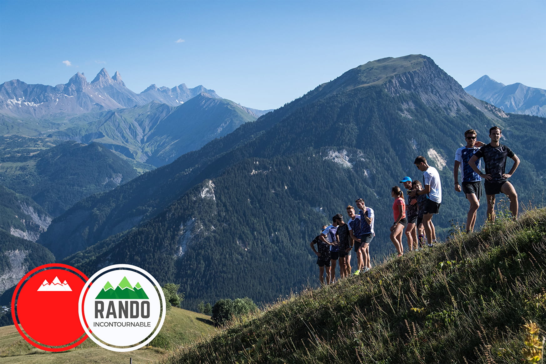
At the top of the mountain pastures!
"Al fresco" it's ideal! Around 7 or 8 am nature wakes up: don't forget to take your binoculars! The fauna and flora await you...
Sport La Toussuire - L'Ouillon hike La Toussuire
About

Further informations
Rock, Stone, Ground, Grit
Prices
Free access.
Reception
Services
- Pets welcome