Departure: La Toussuire bridge (junction right side-left side) - La Toussuire
Distance and duration: 3.7 km - 2h
Difference in height: 261 m
From La Toussuire bridge, take the direction of "La Rochette" going down by "Mollafart" (on the right side of the campsite).
Turn left in direction of "La Rochette" hamlet.
Go back to La Toussuire bridge through "Les Trembles" and "La Grangette" by an agricultural path, until the campsite "Camping du Col".
- Sport
La Toussuire - La Rochette path
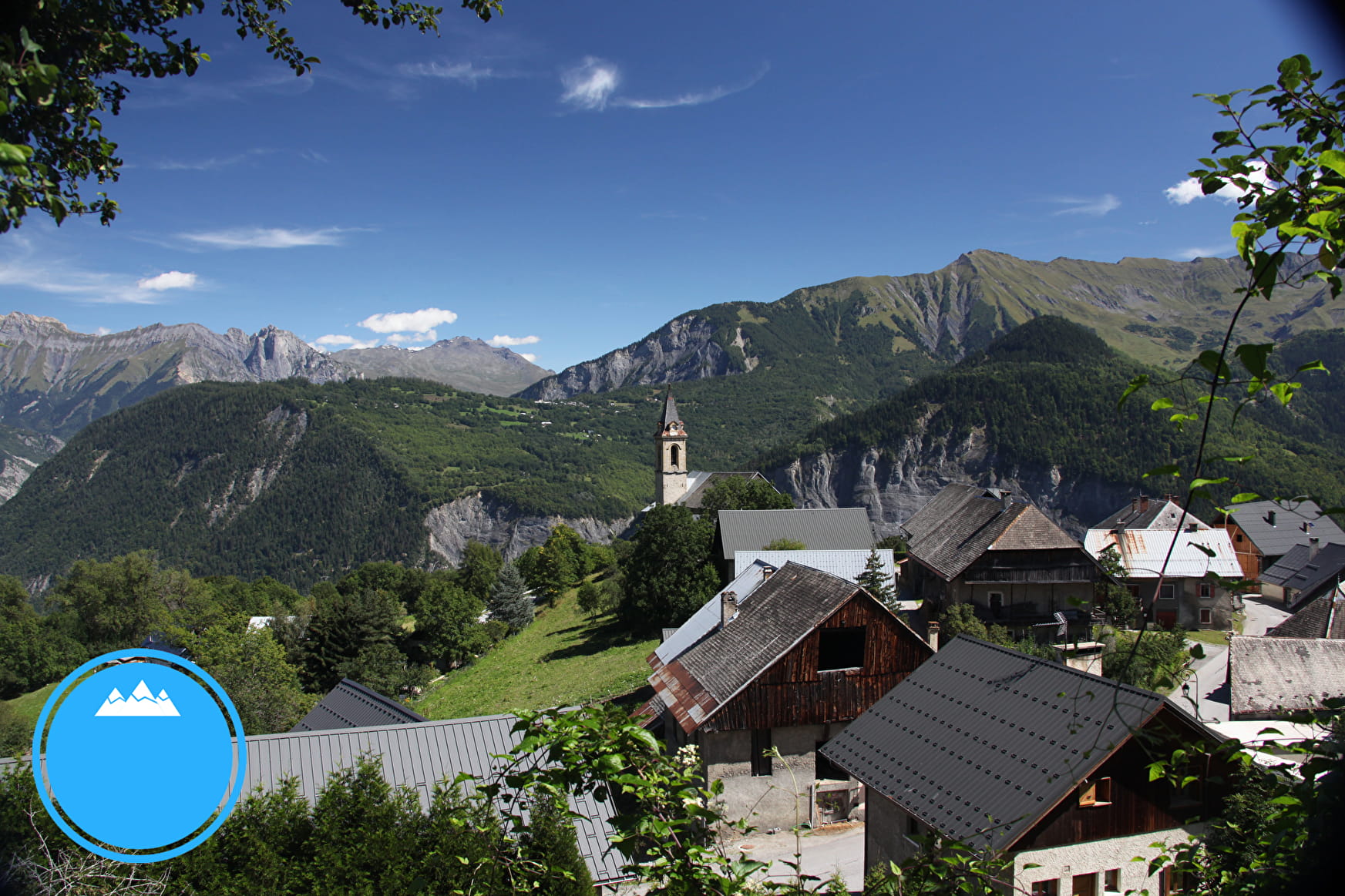
During this walk, enjoy the agricultural landscape.
Blue level hike
Sport La Toussuire - La Rochette path La Toussuire
About

Signs
Yelloow signs with direction and walking time
Topoguides references
Buy our 30 walks guide at La Toussuire Tourist Office (€5). Area: Villarembert, Le Corbier, Fontcouverte, La Toussuire, Saint Pancrace, Les Bottières, Jarrier
1 3


Prices
Free access. Prices for the chairlift on the PDF opposite.
Get to the path for free going up walking.
Reception
On your way, you may see cows or sheeps pens. Please, be careful of guarding dogs
Services
- Pets welcome
- Car park
Contacts
Access
- Not accessible in a wheelchair


