***The route is not marked. You can choose different paths. Please note that you may find yourself on shared sections of roads or trails.***
--------------
- This is a 17.5km hiking / running trail with 900m elevation gain in La Plagne. It is a demanding route with a long climb to La Roche (6/7km for 900m elevation gain), the route across to La Plagne Montalbert and a descent via Longefoy and Les Esserts to come back to Aime
- A variant for anyone who prefers an easier circuit is to go up to Montgilbert then towards Planchamp and Montvilliers to reach Longefoy and Les Esserts.for a distance of 11.5km and 530m elevation gain.
- Another idea for athletes who just want to do a climb and a descent is to go up to La Roche and back down.
There is something for everyone!
Do not forget to take water and something to eat with you!
If this tempts you to get your running shoes on, the GPX routes are at the bottom of the page.
**Please note that the route includes sections of road. Roads are a shared collective space where all users - motorists, bikers, cyclists and pedestrians - are obliged to respect the Highway Code.
As pedestrians, you are particularly vulnerable, so be extra vigilant*
- Sport
Ideas for trail running routes | La Roche - Montalbert
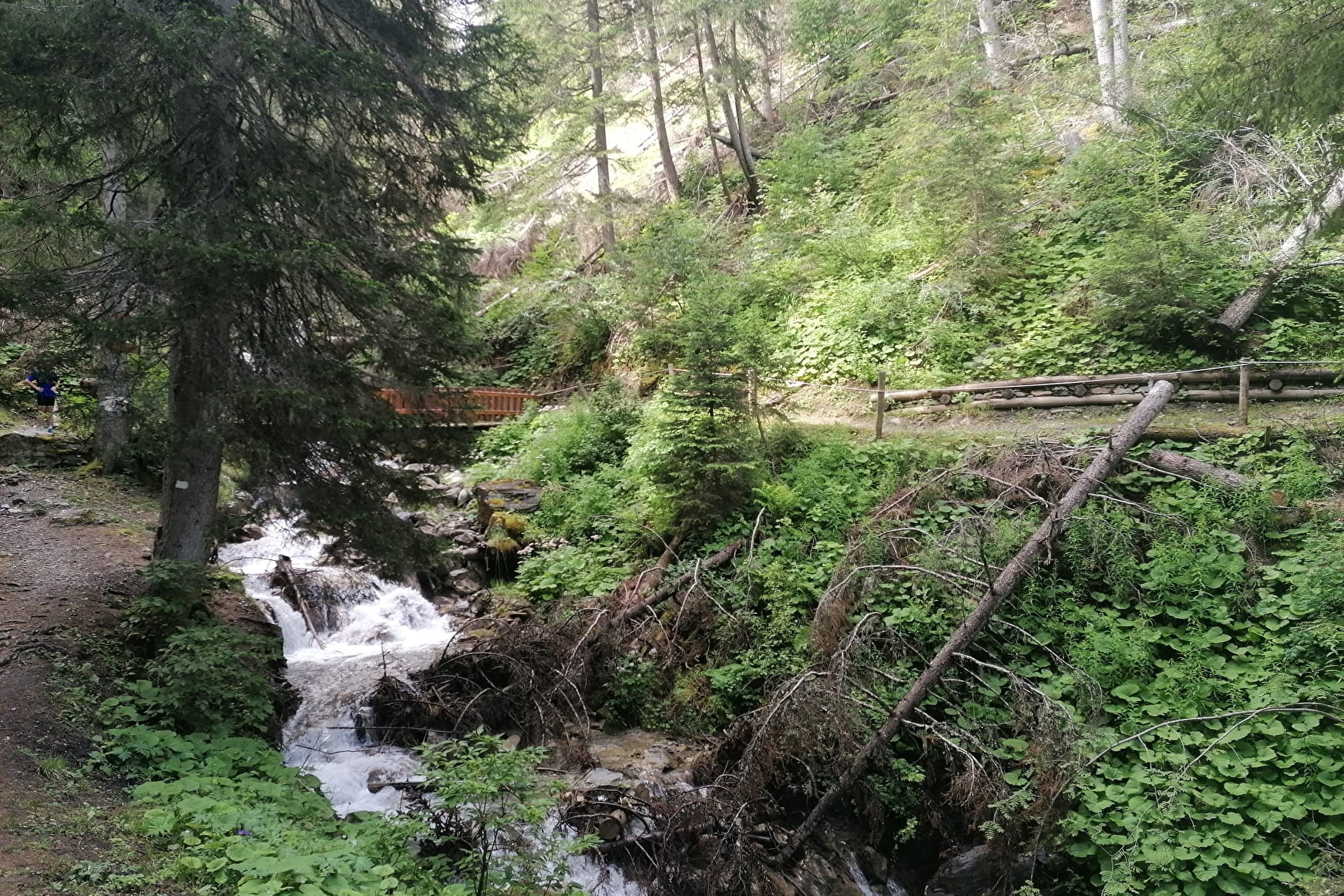
An idea for a beautiful trail running route!
Discover the start of the 6D Marathon (one of the 6000D trail races in July) to the bobsleigh track. There is a choice of 3 routes.
Sport Ideas for trail running routes | La Roche - Montalbert Aime-la-Plagne
About
1 2


The route is not marked.
You can choose different paths.
Please note that you may find yourself on shared sections of roads or trails.
Prices
Free access.
Reception
The route is not marked. You can choose different paths. Please note that you may find yourself on shared sections of roads or trails.
You should wear trail running shoes
Remember to take water and a snack
Drinking water and non-drinking water points along the route
Period of practice
All year round.
Subject to snow conditions.
Services
- Pets welcome
Contacts
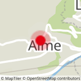
Access


