- Sport
Arcelin: 10km hike
This comfortable, relatively easy trail does include a section of technical, uneven terrain.
Detailed description available at the Tourist Office.
About
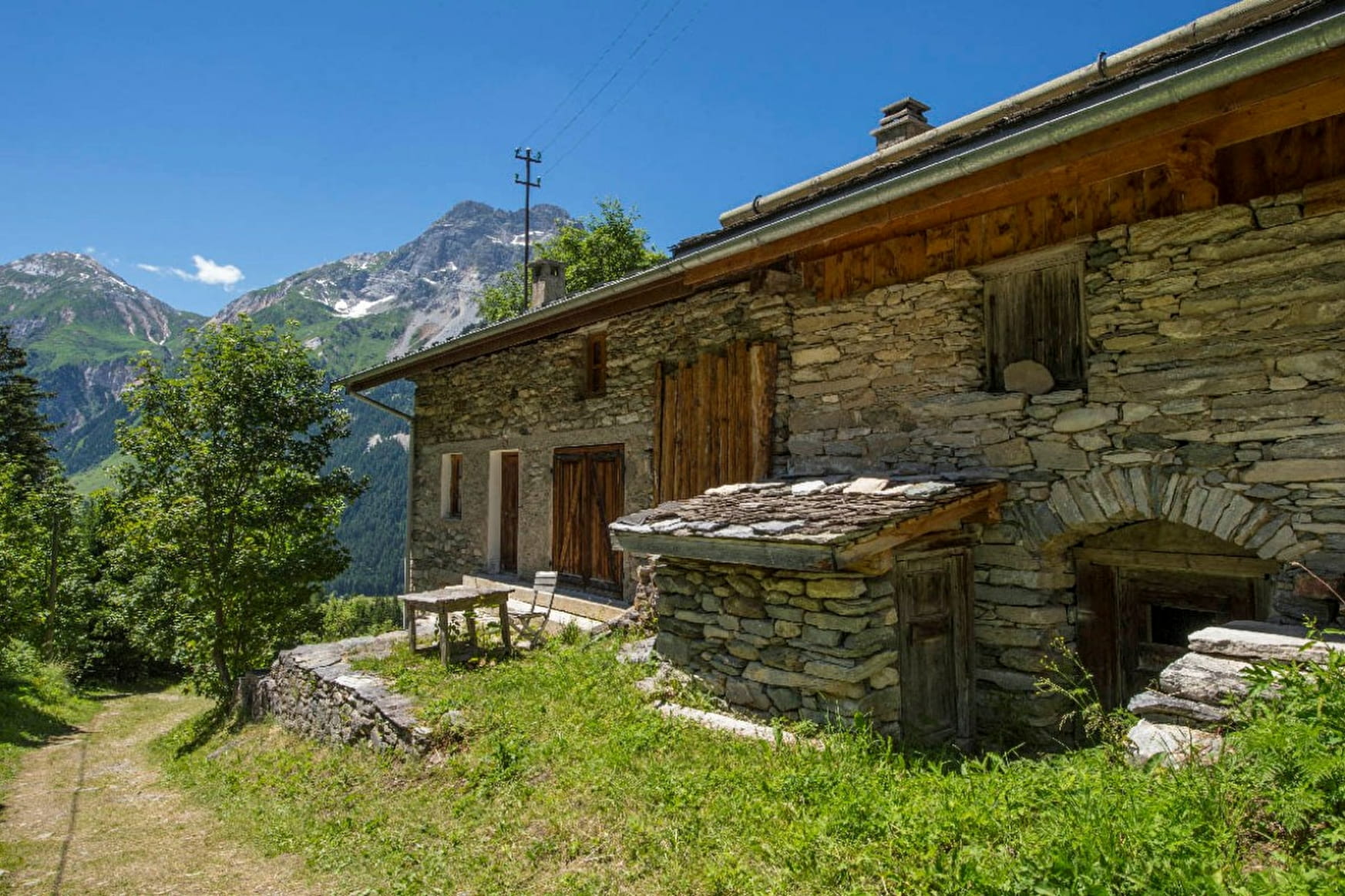
Start: walk behind the Credit Agricole Bank building and then in front of the fire station. Continue towards the neighborhood of Le Plan, follow the road around the open area, and then head towards the village of Chollière.
When you reach the top of the viewpoint in Chollière, marvel at the views of Grande Casse Peak and Vanoise Valley. Walk along a few sections of paved road. After the Chollière viewpoint, cross through the village, walking south, and then hike up to Les Planes on an easy path. Cross Pont de Gerlon Bridge, and then take the cross-country skiing trail downhill. The slope steepens once or twice along the way.
Meet up with the trail to Rocher Blanc and then pass through Isertan Forest on uneven terrain (stay focused!). Contour along the mountainside by following the easy trail that follows the penstock (large pipe).
Make the short detour by Arcelin Cirque on a wide, comfortable trail. Take advantage of the flat area within the glacier cirque to marvel at the surrounding landscapes and then walk back down to the village via the GR55 trail that passes through Les Fontanettes and Les Bieux.
Prices
Free of charge.
Reception
Period of practice
From 15/05 to 01/11.
Depends on snow conditions.
- Pets welcome
Contacts
Access
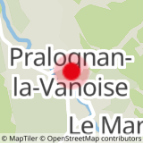
Nearest car park: Parking du Bouquetin
