- Sport
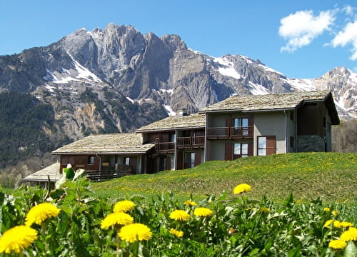
Val Thorens high altitude cycle path

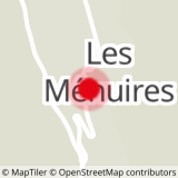
Sport Val Thorens high altitude cycle path Les Menuires
About

1 1

Prices
Free access.
Reception
Period of practice
Closed temporarily.
Services
- Accommodation
- Repair kit
- Bicycle washing point
- Bike repair
- Picnic area
- Parking