Start by descending to Montricher, then turn right to Albanne. In Albanne, turn right towards the Lac de Pramol, then go down the forest road lined with very old larch trees to Les Karellis.
You have the possibility to drink water ans to eat at Les Karellis and Albanne.
This route takes you through the protected pastures of the Col d’Albanne and through the villages of Montricher, Albanne (with its Baroque church) and the hamlet of Beau Mollard. You can enjoy the view on the amazing cliff of La Croix des Têtes (the highest limestone cliff in Europe) and the upper valley with in the foreground the Col du Telegraph and its fortification.
Do not hesitate to stop in the heart of the village of Montricher to the Ecomuseum, tracing life in the past
- Sport
Tour de Montricher-Albanne
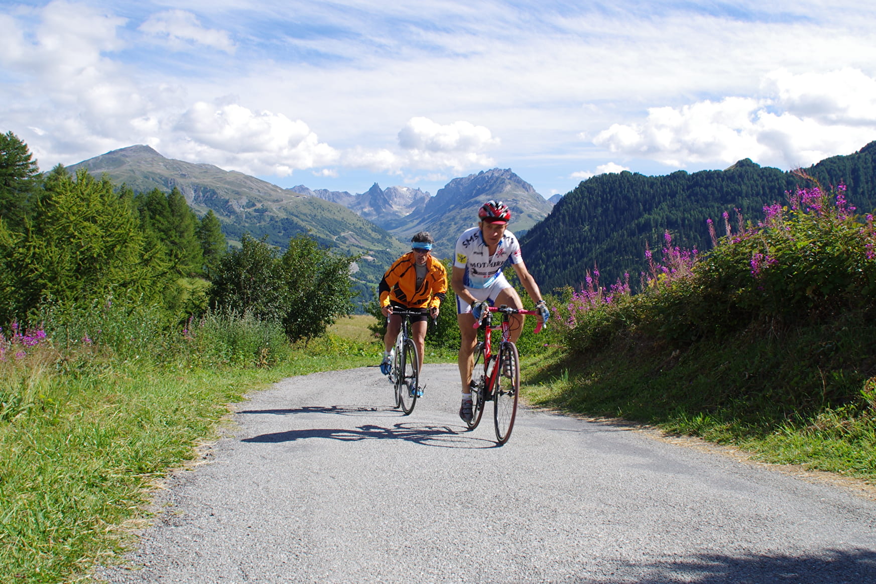
This route will make you ride through a small and confidential pass : the Col d'Albanne !
Sport Tour de Montricher-Albanne Les Karellis
About

1 6


Prices
Free access.
Reception
Period of practice
From 30/04 to 15/11.
Subject to snow conditions.
Equipments
- Picnic area
- Bar
- Public WC
- Parking