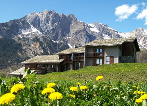
A cousin of the Col de la Loze, this demanding climb offers few moments of respite, but the view over the whole of the 3 Vallées from the top of the pass is breathtaking! The route starts at the Piou-Piou village in Les Menuires.
In the near future, it will even be possible to reach Méribel on the other side. In the meantime, this is an out-and-back route.
A little surprise: at the pass, you'll find a high-altitude restaurant, open in season.
- Sport
Tougnète high altitude cycle path
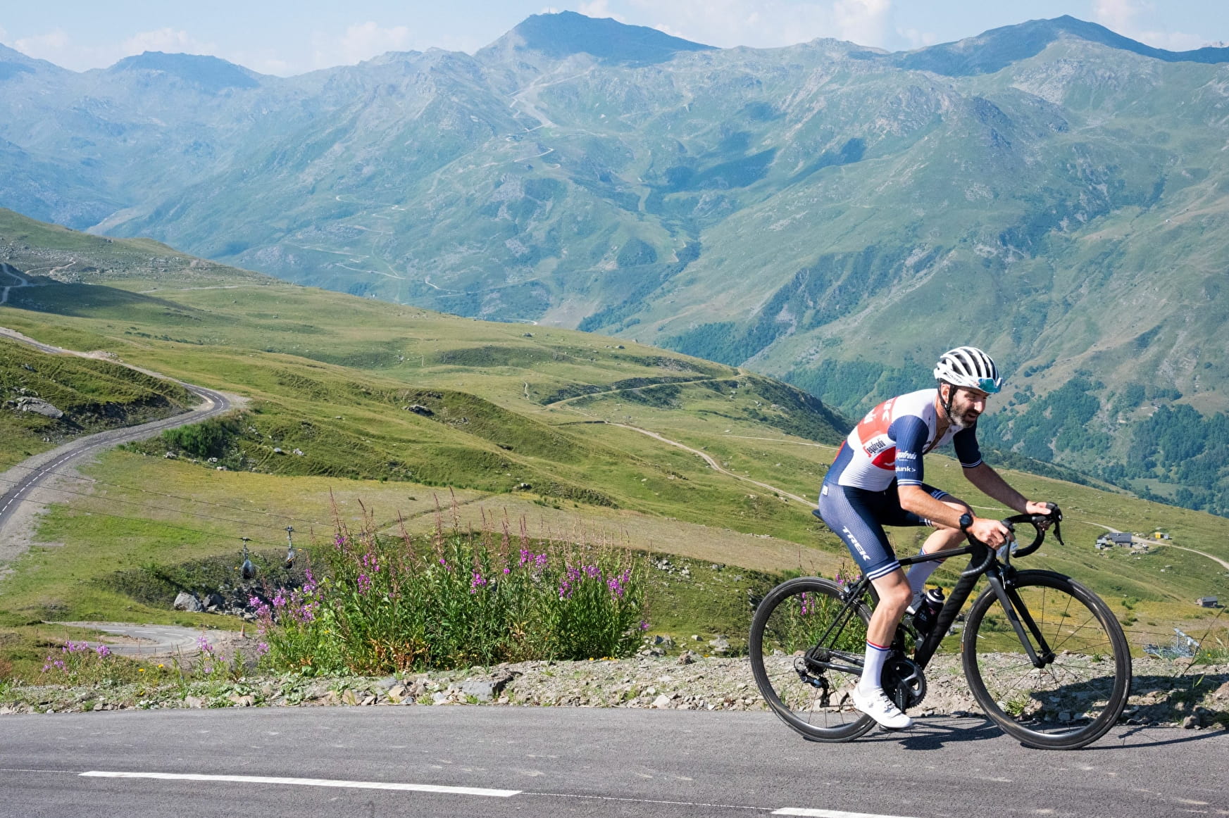
A high-altitude trail reserved exclusively for bikes, the climb from Les Menuires to Tougnète offers breathtaking views over the Belleville Valley. This 7km climb can be done on a road bike or an ebike, without the hassle of traffic.
Sport Tougnète high altitude cycle path Les Menuires
About

Difficult passages
Up to 27% before the Maya Altitude restaurant
Topoguides references
Map of La Vallée des Belleville and 3 Vallées e-bike routes
Further informations
Hard coating (tar, cement, flooring)
1 1

Prices
Free access.
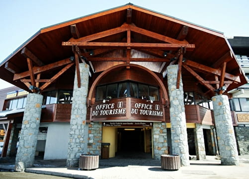
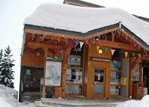
Reception
Period of practice
Closed temporarily.
Services
- Accommodation
- Repair kit
- Bicycle washing point
- Bike repair
- Accessible via ski lift
- Picnic area
- Parking