• Sport

Route des Grandes Alpes - Variante par les cols de la Croix de Fer et du Lautaret

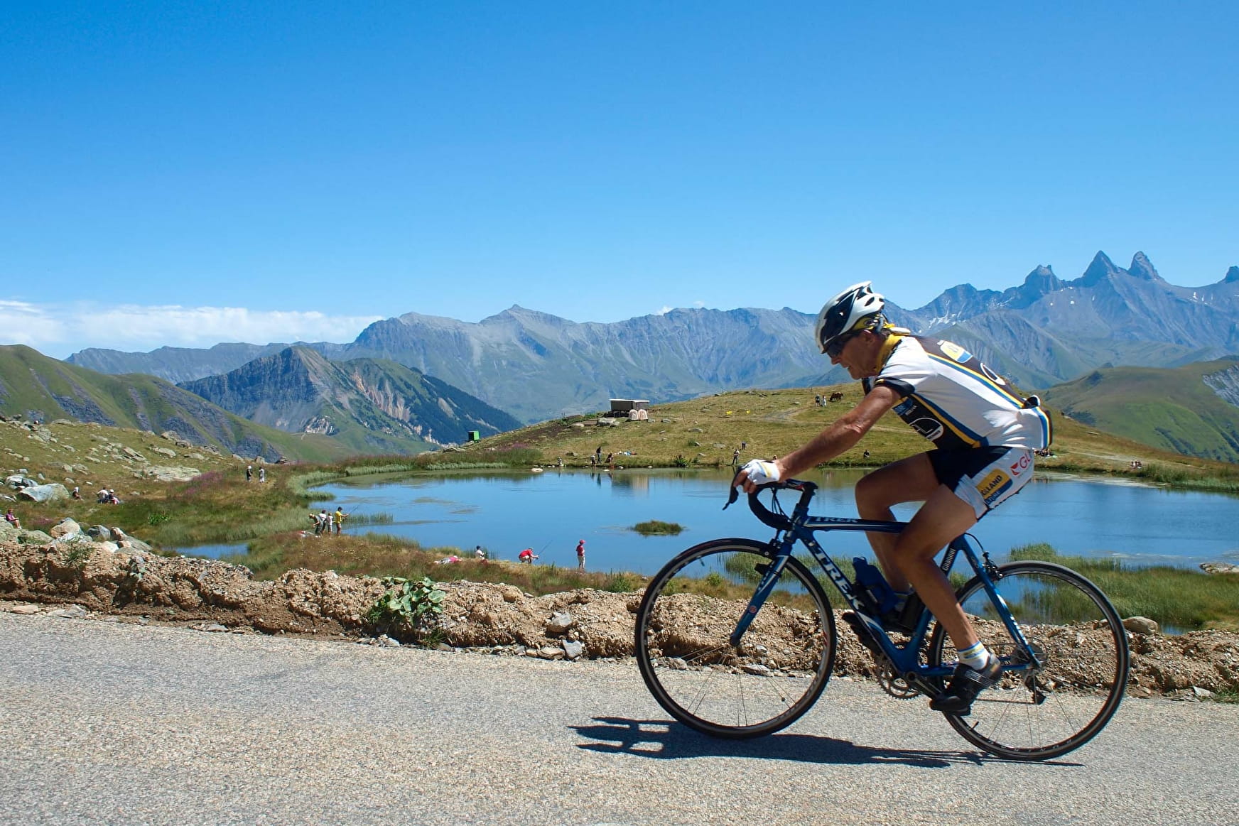
Sport Route des Grandes Alpes - Variante par les cols de la Croix de Fer et du Lautaret Porte-de-Savoie

About

Departing from Porte-de-Savoie (73800)
Average length : 07h51
Total elevation gain : 2229m
Vertical drop : 2208m
Distance : 80km
Signed walking trail

Itinerary
Total elevation gain : 2229m
Vertical drop : 2208m

Prices

Free access.

Reception

Languages spoken : French

Period of practice

All year round.

Subject to snow conditions.

Access

Batiment Uranus 114 voie Albert Einstein Francin 73800 Porte-de-Savoie
Departing from : Porte-de-Savoie (73800)
Latitude : 45.214415 - Longitude : 6.474553
On : Saint-Jean-de-Maurienne (73300), Porte-de-Savoie (73800)
Information update on 14/10/2019 by Grandes Itinérances SAS