- Sport
Montée cyclo du Col du grand Cucheron (Versant Maurienne)
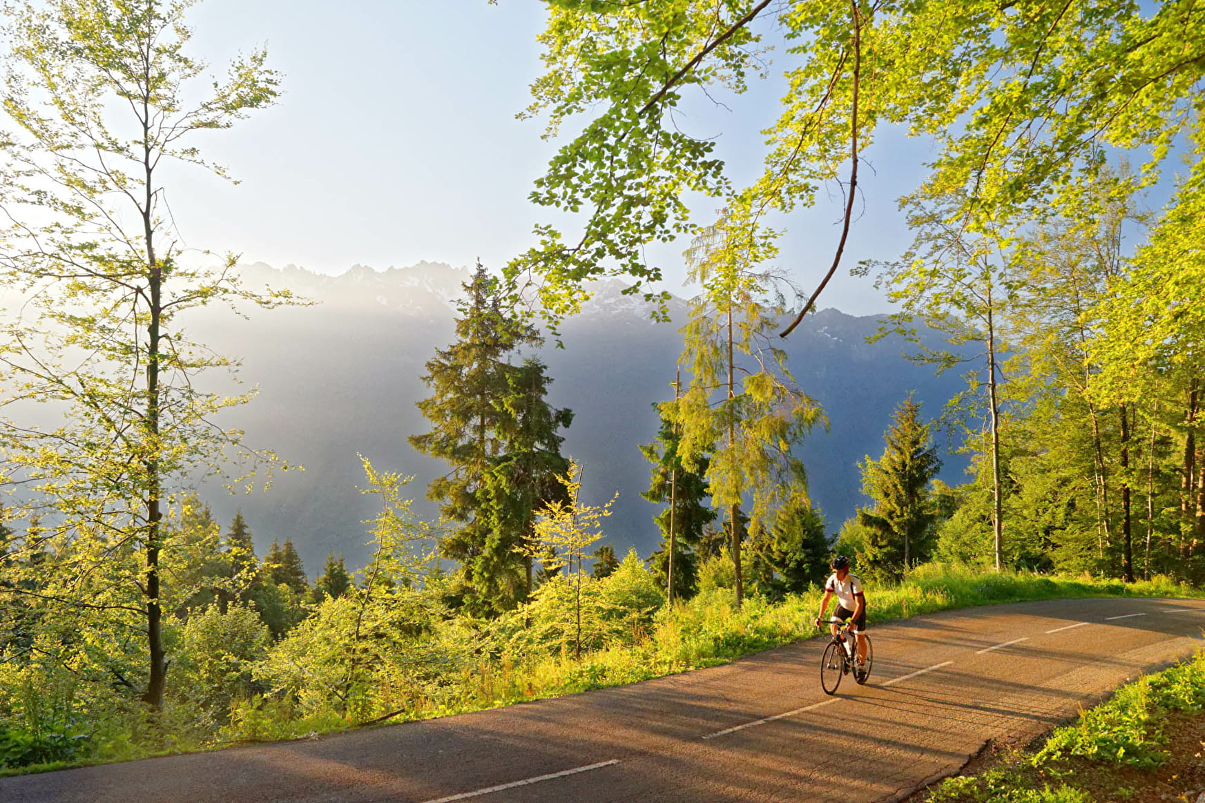
976 points - this route goes over two neighbouring mountain passes, the Col de Champlaurent, with its tight hairpin bends, followed by the Col du Grand Cucheron. Both passes have kilometre markers. Don't miss the views over the Bauges, especially the impressive Dent d'Arclusaz.
About

Prices
Free access.
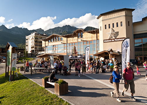
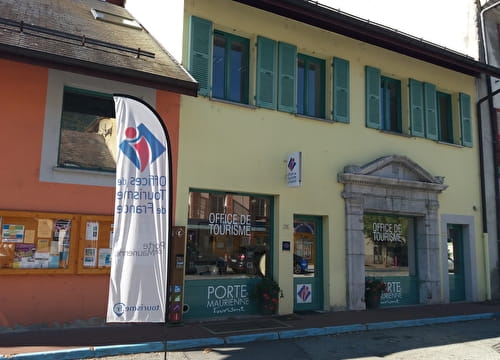
Reception
Period of practice
From 15/03 to 30/10.
Navigable with no snow cover, subject to weather conditions.
Check beforehand with the Tourist Office for up-to-date information on weather conditions.