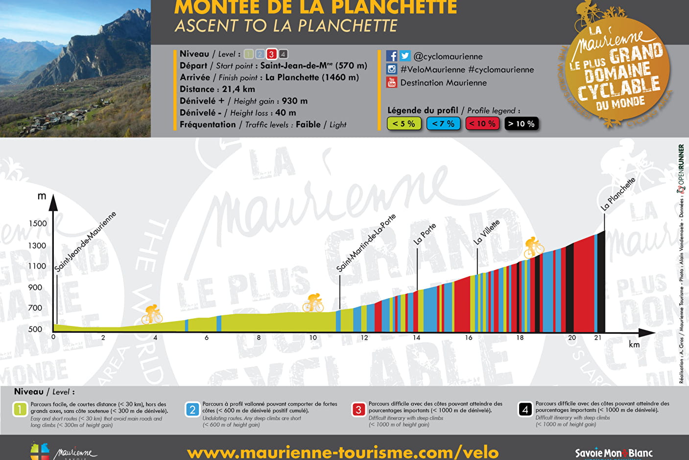
• Sport

La Planchette

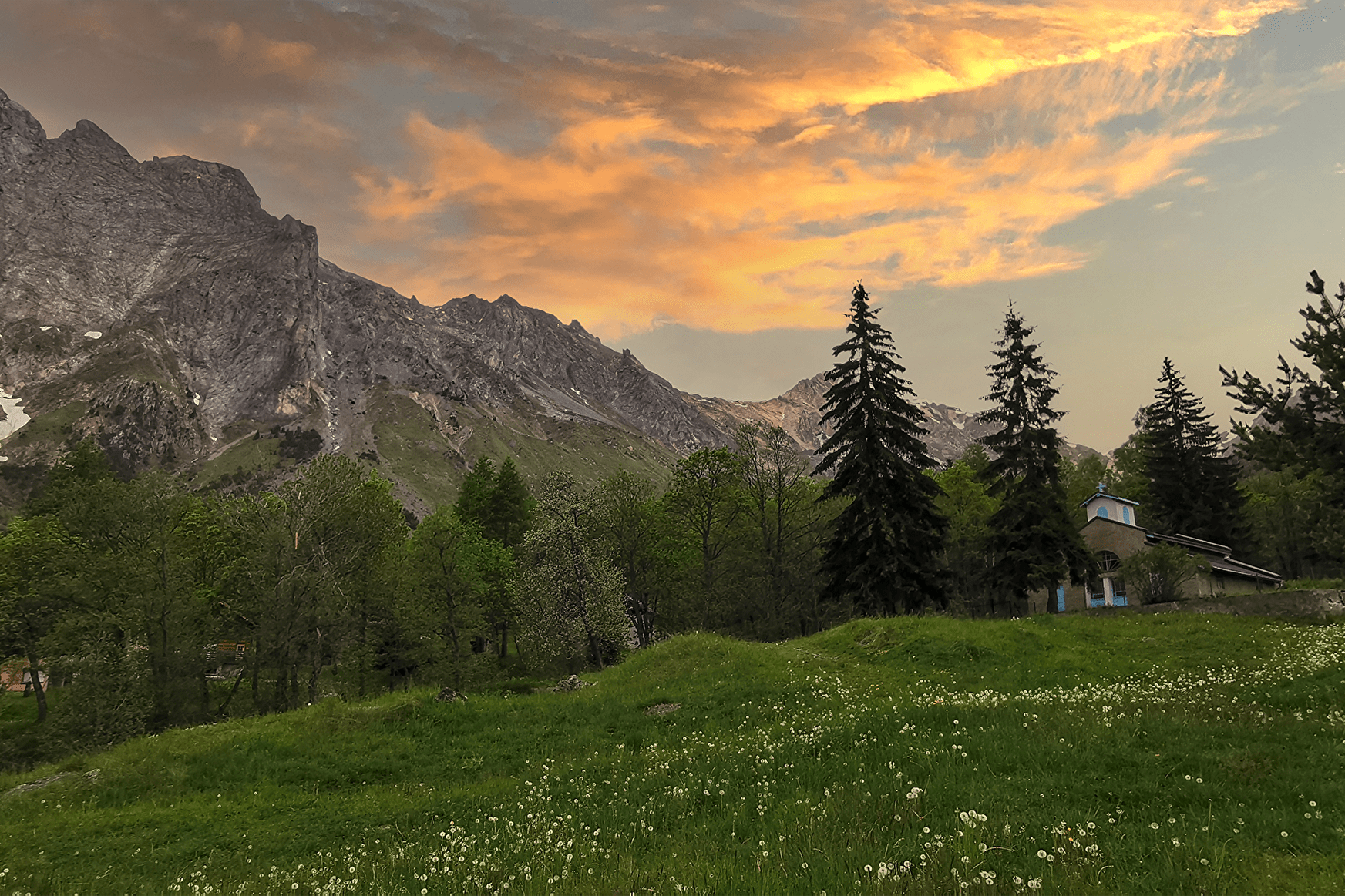
This climb at the foot of the Croix des Têtes is a haven of peace and quiet. The shady forest, dotted with clearings, continues all the way to the picnic table at the hikers’ car park.

Sport La Planchette Saint-Jean-de-Maurienne

About

Departing from Saint-Jean-de-Maurienne (73300)
Total elevation gain : 930m
Vertical drop : 40m
Distance : 21.4km

Way and back
Total elevation gain : 930m
Altitude max : 1460m
Vertical drop : 40m
    1 1

    Prices

    Free access.

    Reception

    Languages spoken : English, French
    Languages of documentation : English, French

    Period of practice

    From 15/03 to 15/11.

    Equipments
    • Picnic area
    • Bar
    • Public WC
    • Parking

    Access

    73300 Saint-Jean-de-Maurienne
    Departing from : Saint-Jean-de-Maurienne (73300)
    Latitude : 45.276761 - Longitude : 6.345084
    On : Saint-Michel-de-Maurienne (73140), Saint-Jean-de-Maurienne (73300), Saint-Martin-de-la-Porte (73140)
    Information update on 28/07/2021 by Maurienne Tourisme