- Sport
Itinéraire VAE fort et vignobles
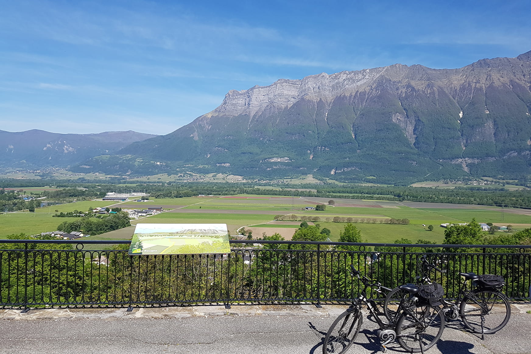
Sport Itinéraire VAE fort et vignobles Val-d'Arc
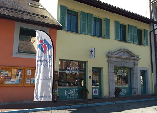
About

Further informations
Hard coating (tar, cement, flooring)
1 3


Prices
Free access.
Period of practice
All year round.
Services
- Motorhomes allowed
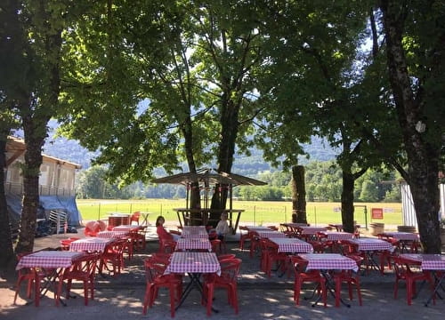
- Restaurant
- Charging station for 2 electric wheels
- Car park
- Free car park
- Public WC
- Charging stations for electric vehicles
- Picnic area