• Sport

Itinéraire Cyclo : La Mauriennaise

Savoie Mont Blanc's choice

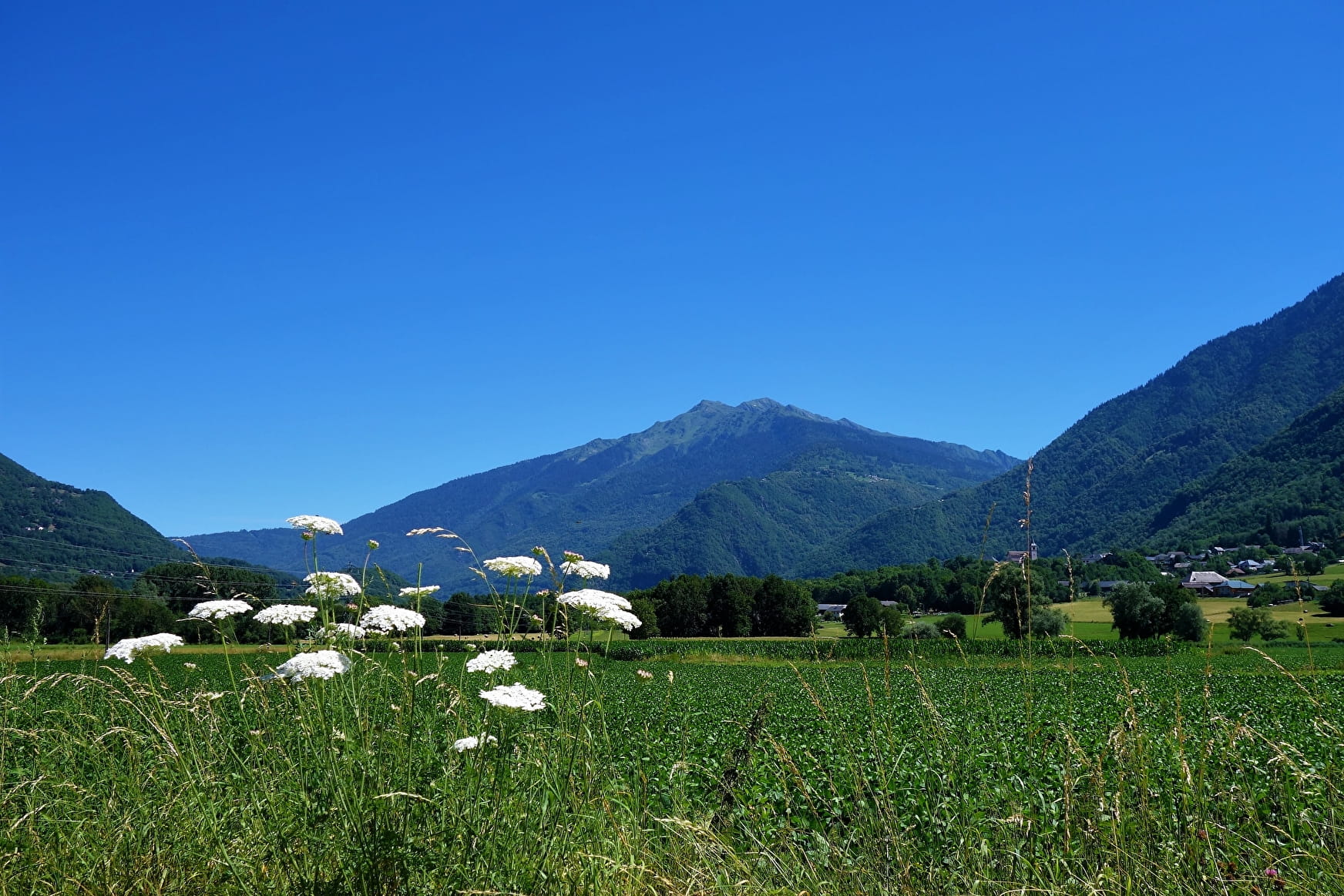
This route along the valley floor allows you to uncover some of the unsuspected delights of the Maurienne, with its old, secluded villages, its impressive mountainsides and its quiet minor roads.

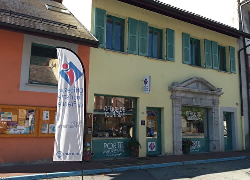
Sport Itinéraire Cyclo : La Mauriennaise Saint-Michel-de-Maurienne

About

Departing from Saint-Michel-de-Maurienne (73140)
Average length : 04h00
Total elevation gain : 785m
Vertical drop : 367m
Distance : 61.3km
Signed walking trail

Way and back
Total elevation gain : 785m
Altitude max : 710m
Vertical drop : 367m
    1 2

    Prices

    Free access.

    Reception

    Animals not allowed

    Period of practice

    All year round.

    Subject to favorable snow and weather conditions.

    Equipments
    • Picnic area
    • Parking

    Access

    Route de la gare 73140 Saint-Michel-de-Maurienne
    Departing from : Saint-Michel-de-Maurienne (73140)
    Latitude : 45.561509 - Longitude : 6.200104
    On : Val-d'Arc (73220), Saint-Rémy-de-Maurienne (73660), Saint-Jean-de-Maurienne (73300), Saint-Léger (73220), Argentine (73220), Bourgneuf (73390), Sainte-Marie-de-Cuines (73130), Saint-Michel-de-Maurienne (73140), Saint-Etienne-de-Cuines (73130), La Chambre (73130), La Tour-en-Maurienne (73300), La Tour-en-Maurienne (73300), Val-d'Arc (73220)
    Information update on 08/04/2024 by Agence alpine des territoires