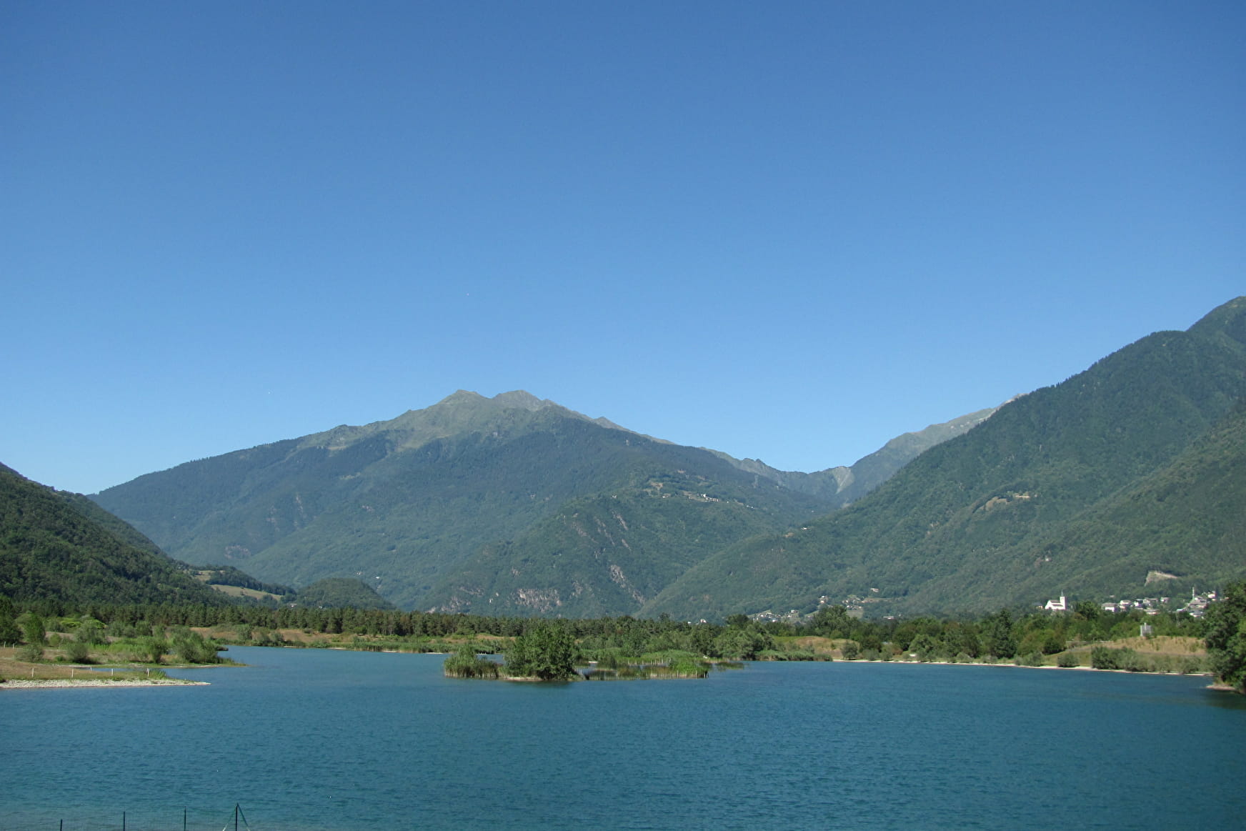
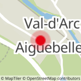
From Aiguebelle, follow signs to the Lac de Charbonnière and Saint-Georges-des-Hurtières. The first five kilometres through the woods take you up to 600m. Once you are a little bit higher you can see the Hurtières Mountains and the Lower Maurienne Valley. Go down to Saint-Pierre-de-Belleville and cross the RD 1006 to get to the sleepy village of Argentine. Go through the hamlets that make up the village, following the “Mauriennaise” cycling signs through Randens to Aiguebelle.
You will find some fountains in villages, and some restaurants in Aiguebelle and Saint-Pierre-de-Belleville.
- Sport
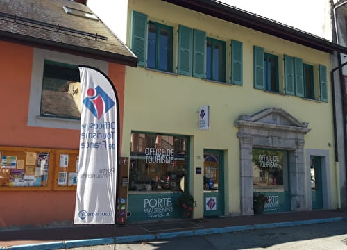
Gateway to the Maurienne
A nice and rather easy circuit to discover the entrance of Maurienne valley away from main roads.
Sport Gateway to the Maurienne Val-d'Arc
About

1 10


Prices
Free access.
Reception
Period of practice
All year round.
Subject to snow conditions.
Services
- Motorhomes allowed
- Parking nearby
- Public WC
- Bar
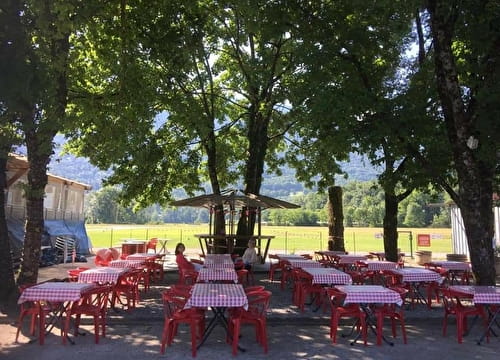
- Picnic area