• Sport

Col du Chaussy

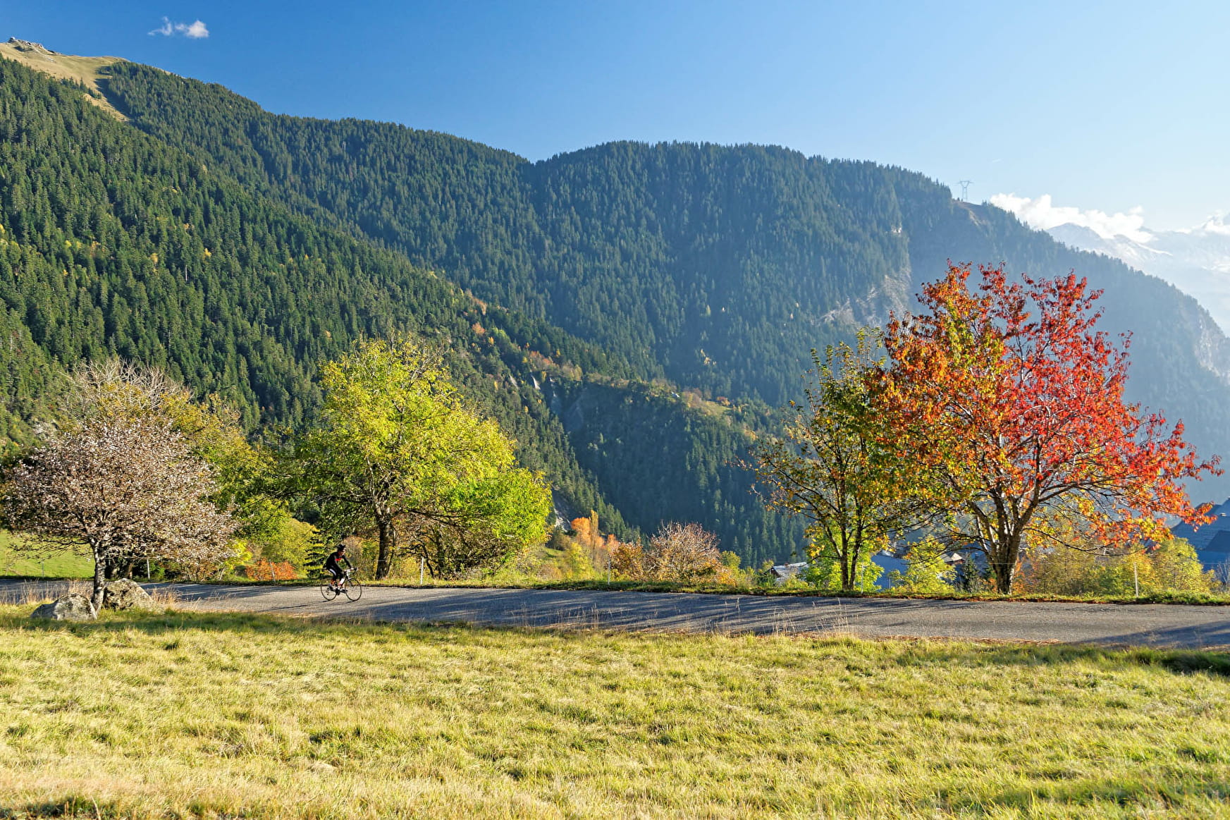
The climb starts with the spectacular “Montvernier hairpins", an improbable road clinging to the edge of the cliff. The upper section goes through several villages and offers panoramic views of the Belledonne Mountains.

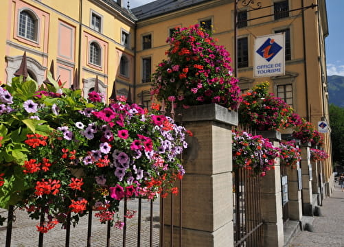
Sport Col du Chaussy La Tour-en-Maurienne

About

Departing from La Tour-en-Maurienne (73300)
Average length : 02h00
Total elevation gain : 972m
Distance : 19.3km
Signed walking trail

Itinerary
Total elevation gain : 972m
Altitude max : 1533m
    1 1

    Prices

    Free access.

    Reception

    Animals not allowed

    Period of practice

    From 15/03 to 30/10.

    Access

    Rue des Lacets Montpascal 73300 La Tour-en-Maurienne
    Departing from : La Tour-en-Maurienne (73300)
    Latitude : 45.312886 - Longitude : 6.340385
    On : La Tour-en-Maurienne (73300), Val-d'Arc (73220)
    Information update on 11/03/2024 by Agence alpine des territoires