- Sport
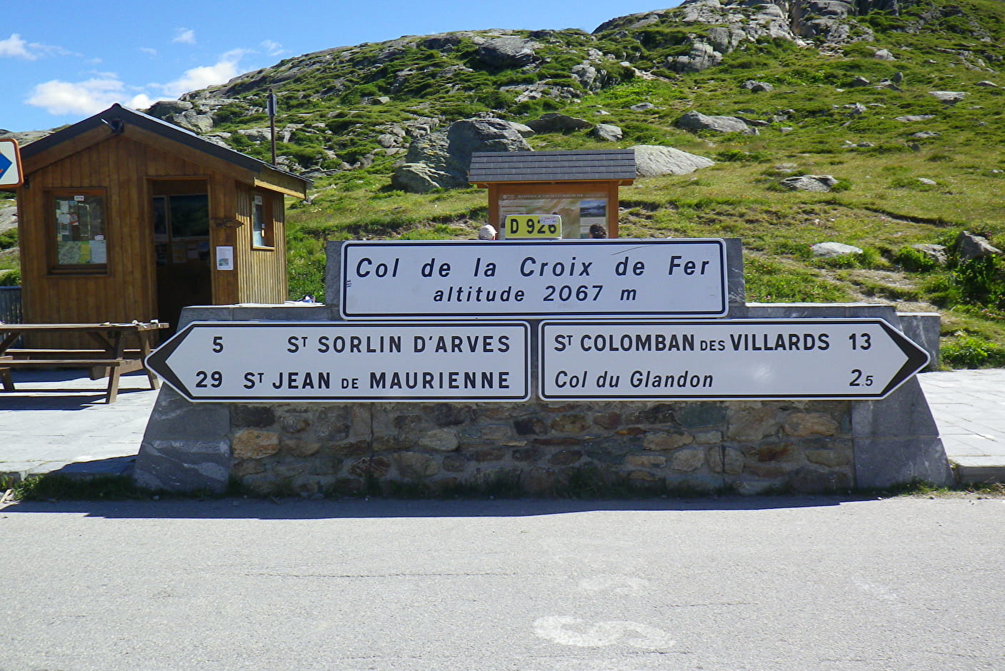
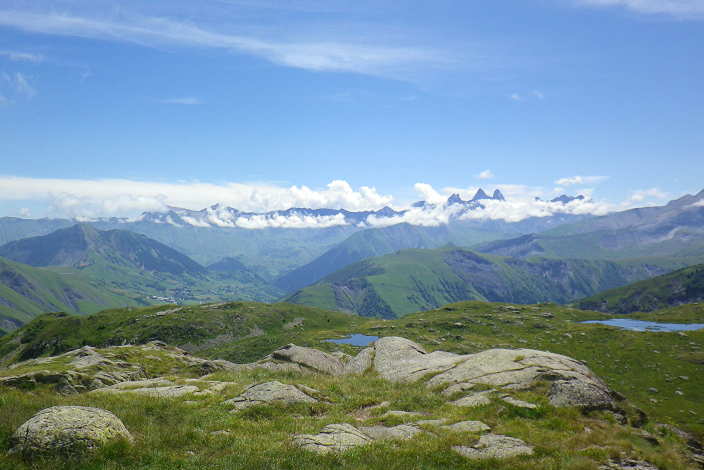
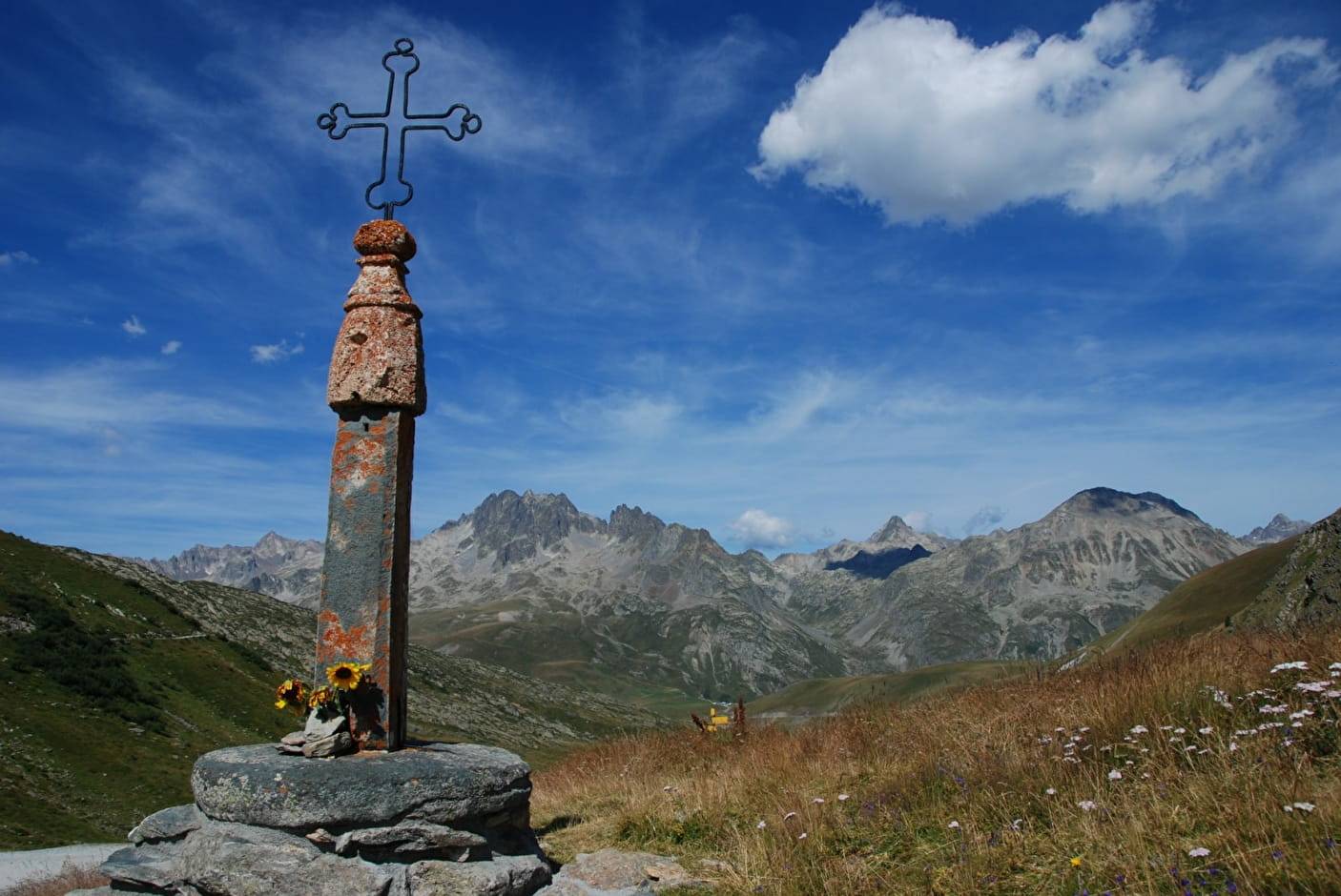
Col de la Croix-de-Fer
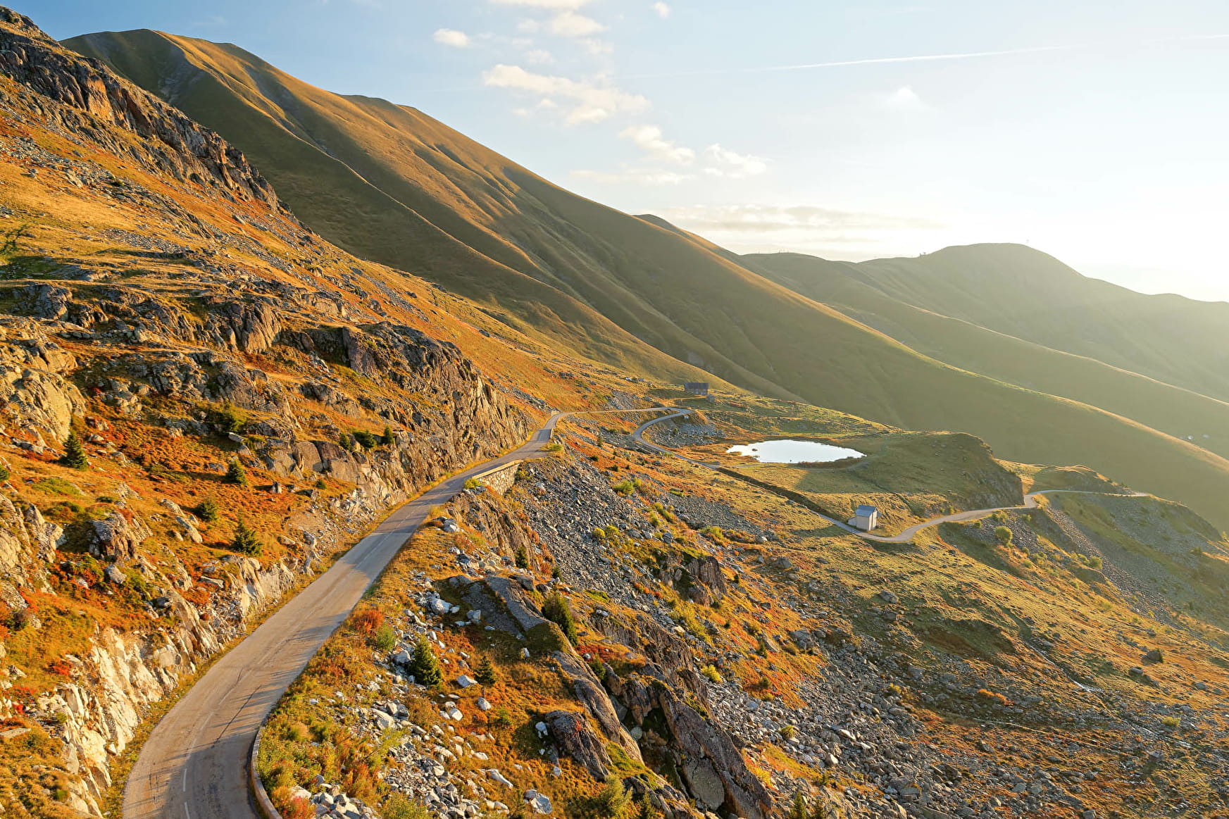
It is the classic road to make the ascent of Le Col de la Croix de Fer, less hard than by Le Col du Glandon. Discover the high valley of Arves, dominated by the glacier L'Etendard.
Sport Col de la Croix-de-Fer Saint-Jean-de-Maurienne
About

1 3


Prices
Free access.
Reception
Period of practice
From 01/06 to 30/10.
Depending on the weather.