• Sport

Ascent to Les Aiguilles d'Arves

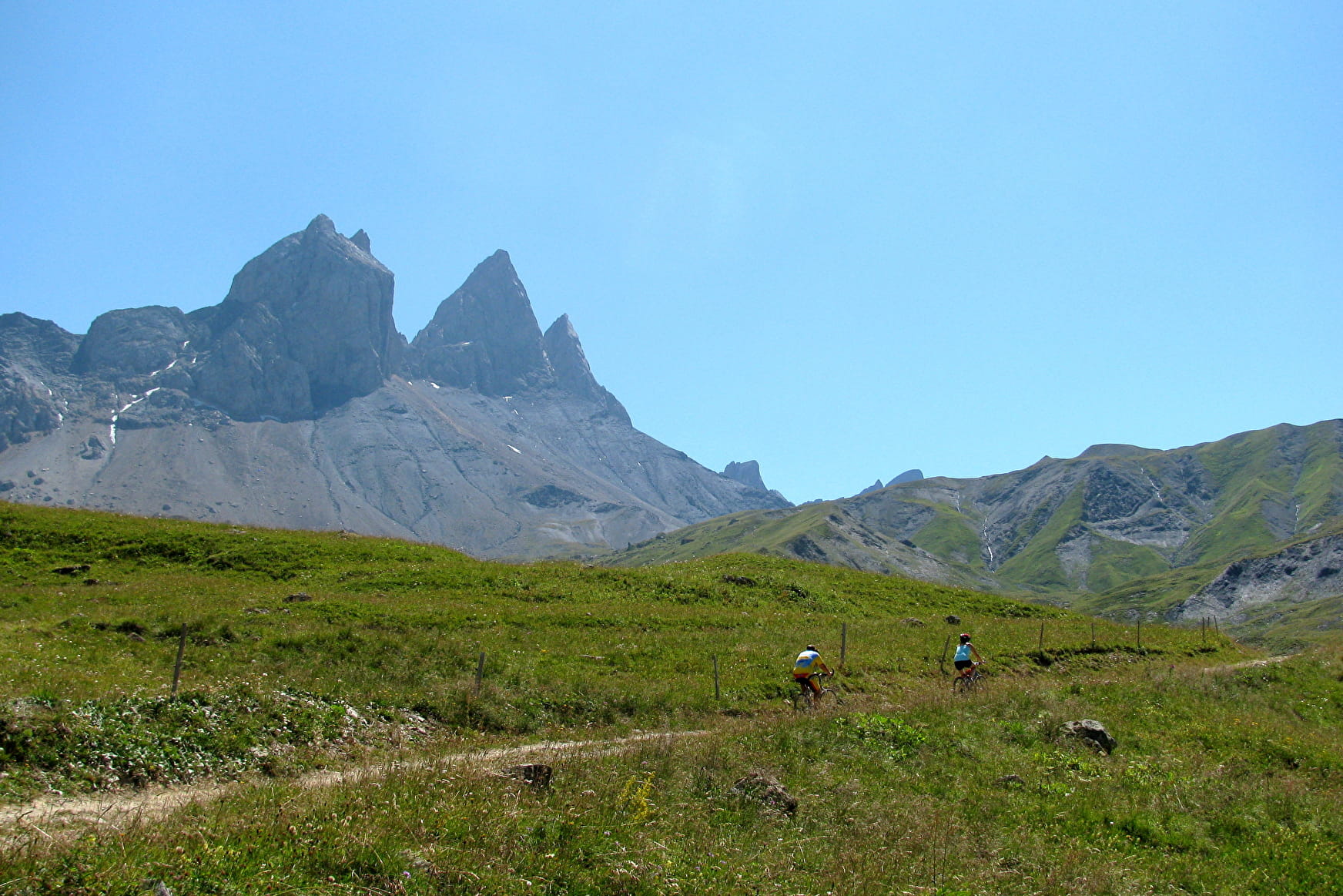
Harder than the Croix-de-Fer. A 6.6-km section of the switchbacks has an average gradient of 10.3%. Looking towards the Aiguilles d'Arves, it is easy to see why one of them is called the Tête de Chat (cat’s head).

Sport Ascent to Les Aiguilles d'Arves Saint-Jean-de-Maurienne

About

Departing from Saint-Jean-de-Maurienne (73300)
Total elevation gain : 1645m
Vertical drop : 315m
Distance : 28.2km

Way and back
Total elevation gain : 1645m
Altitude max : 1905m
Vertical drop : 315m
    1 2

    Prices

    Free access.

    Reception

    Languages spoken : English, French
    Languages of documentation : English, French

    Period of practice

    From 01/05 to 30/10.

    Services
    • Motorhomes allowed
    Equipments
    • Picnic area
    • Bar
    • Public WC
    • Car park
    • Orientation board
    • Covered car park

    Access

    73300 Saint-Jean-de-Maurienne
    Departing from : Saint-Jean-de-Maurienne (73300)
    Latitude : 45.276682 - Longitude : 6.345141
    On : Albiez-Montrond (73300), Saint-Jean-de-Maurienne (73300)

    More informations

    Information update on 18/05/2022 by Maurienne Tourisme