• Sport

Itinéraire VAE - Les Lacs du Chardonnet et l'Aiguille Percée

Sport Itinéraire VAE - Les Lacs du Chardonnet et l'Aiguille Percée Tignes

About

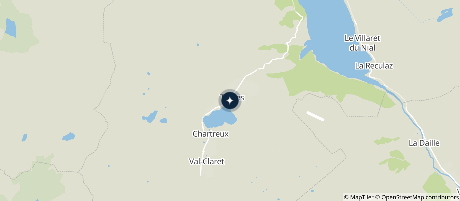
Departing from Tignes (73320)
Average length : 02h00
Total elevation gain : 600m
Distance : 18km
Signed walking trail

Loop
Total elevation gain : 600m
Altitude max : 2748m

Further informations

Stone, Ground, Hard coating (tar, cement, flooring)

Prices

Free access.

Reception

Languages spoken : English, French
Languages of documentation : English, French

Period of practice

From 26/06 to 05/09.

Subject to snow conditions.

Services
  • Accommodation
  • Shop
  • Tourist brochures
  • Equipment hire
  • Mountainbike hire
  • Repair kit
Equipments
  • Picnic area
  • Bar
  • Public WC
  • Restaurant
  • Charging stations for electric vehicles

Access

73320 Tignes
Departing from : Tignes (73320)
Latitude : 45.469026 - Longitude : 6.906919
Information update on 29/07/2021 by Communauté de Communes de Haute Tarentaise