

The first kilometer of track gives you time to set off at your own pace. On the historic path through the mountain pastures, imagine the ascent of the shepherds of yesteryear.
The sound of flocks and herds reminds you of the importance of mountain farming in this shared space. The sunny meadows invite you to take a contemplative break. What a view of the Mont Cenis massif. The Lombardy often transports its clouds here from Italy. Look how quickly the Signal du Petit Mont Cenis and the Col, so popular with cyclists, can wrap themselves in their scarf of cumulus clouds.
On your sheltered adret, cross the torrent de Burel for a refreshing moment. Before the winding descent through the Scots pines, you'll feel a sense of freedom.
At 2000 m altitude, the whistling of marmots catches your ear. Keep your step smooth on the descent. More than 20 switchbacks cut the slope on a trail carpeted with pine needles.
- Sport
The Grattais walking loop
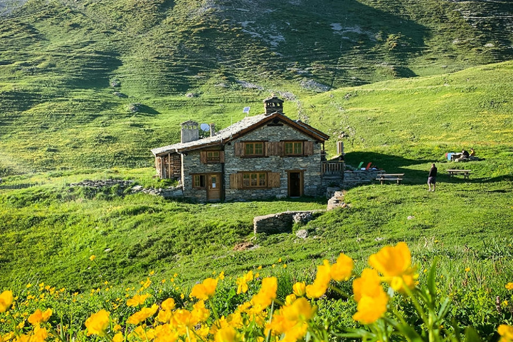
Take to the heights under the Vallonbrun refuge. This trail cleverly combines challenging uphill sections, panoramic views, lush green meadows, and playful downhill stretches. Seasoned trail runners will absolutely love this dynamic profile.
About
Signs
Mixed departmental markings (PR)
Map references
"Map IGN 3633ET - Tignes Val-d'Isère IGN 3634OT - Val Cenis" map
Topoguides references
Map and booklet "Haute Maurienne Vanoise. 115 walks and hikes - 35 trail routes. For all levels" (sold for €10 in Tourist Offices) - Itinéraire bleu n°47
Further informations
Stone, Ground
Prices
Free access.
Reception
The duration of hiking trails is calculated using reference paces: 300 m/h ascent, 500 m/h descent and 4 km/h on the flat.
As hazards may occur at any time on the routes, the GPX tracks provided are not contractual. They are given for information only. Riders use them at their own risk, depending on their level of technological proficiency and their understanding of the terrain.
Pets allowed on leash only.
Period of practice
From 15/05 to 15/11.
Subject to favorable snow and weather conditions.
- Pets welcome
- Parking nearby
- Car park
Contacts
Access
I get there by car: on leaving Lanslevillard, take the D902 to Pré Clos, then the gravel track to the parking lot.