Nature and Heritage:
The “pont couvert” (covered bridge) is so-called because of the roof that covers it to protect the woodwork. Its architecture is fairly unique in the region. Covered bridges date back to the 12th century in Europe and mainly Switzerland.
There are also many covered bridges in North America.
Route details:
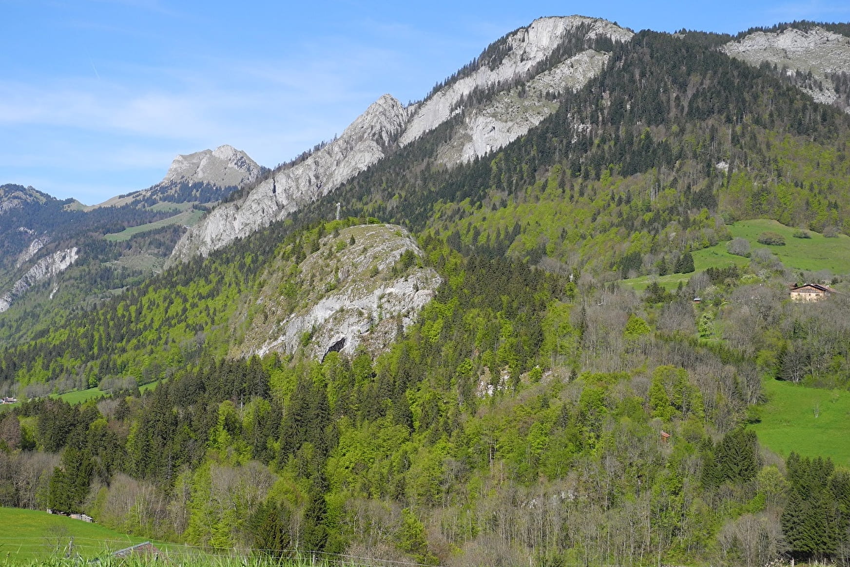
Head for "pont couvert" behind the church and continue left after the covered bridge. A little further into the forest, go along a trail going up to the right. Continue along the forest path until you reach the forest slope after 20 minutes. Continue on the right and you’ll soon reach the top of the rock for views of Bellevaux and the surrounding mountains.
Go back until you reach the chapel built by Jean Cornier in 1881 on a rocky little overhang devoted to Notre-Dame du Purgatoire. Continue straight on to Bellevaux and cross "Nants" stream. The trail then goes into a slope before joining the public highway to "le Frène" and "l'Ermont". Turn right and continue for approximately 250m until the bottom of the waterfall. Then cross the "Nant" on a little wooden bridge (Accroparc). Continue along the Brevon to the covered bridge. Cross the bridge to reach the centre towards the church.
Useful information: Yellow markings/High point: Rocher du Châtelard 1051m.
- Sport
"Le Tour du Chatelard" Hike
Get a taster for Bellevaux's hiking trails through woods, along streams and waterfalls: a wonderful warm-up setting off from the village centre.
Sport "Le Tour du Chatelard" Hike Bellevaux
About

Further informations
Ground
1 3


Prices
Free of charge.
Reception
Period of practice
From 01/01 to 31/12.
Subject to favorable weather.
Services
- Pets welcome
- Accommodation
- Pets supplement
- Restaurant
- Car park
- Public WC
- Picnic area
Contacts
Access
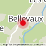
Set off from Bellevaux centre


