Difficulty: difficult
Highest altitude: 1780 m
Difference in altitude: 660 m
Start: La Frasse parking lot
1) Start from the La Frasse parking lot at the top of the hamlet of the same name. Take the 4x4 track through the forest to the first intersection. Turn left at both intersections and follow "Le Truc". Continue on the same rather steep track for around 400m. The path then becomes more gradual.
2) At the next junction, leave the 4x4 track and climb a path through the forest, towards "Le Truc par la forêt". After around 400m, enter the Contamines-Montjoie Nature Reserve. Dogs must be kept on a leash from this point onwards.
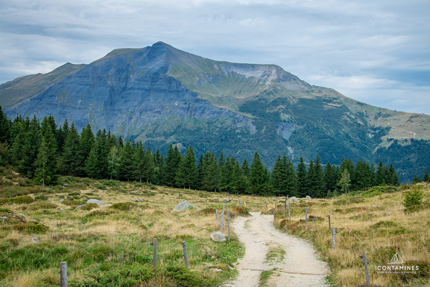
3) Leave the forest and join the 4x4 track to the Truc chalets. From here, a magnificent view of the glaciers awaits you. Drive past the Truc chalets towards "Mont Truc", which you can see behind the chalets. Leave the small Truc oratory on your right and continue along the path until it intersects with the narrow path that climbs to the top of Mont Truc.
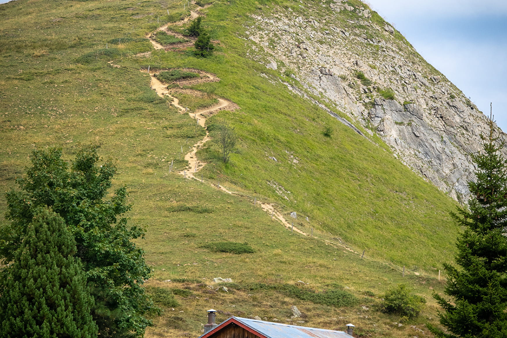
4) Take the Mont Truc footpath for the last 150m of ascent.
5) Return along the same path to the junction with the path in the forest. Here, stay on the 4x4 track and gradually descend to the La Frasse parking lot.
- Sport
Mont Truc via the Truc chalets
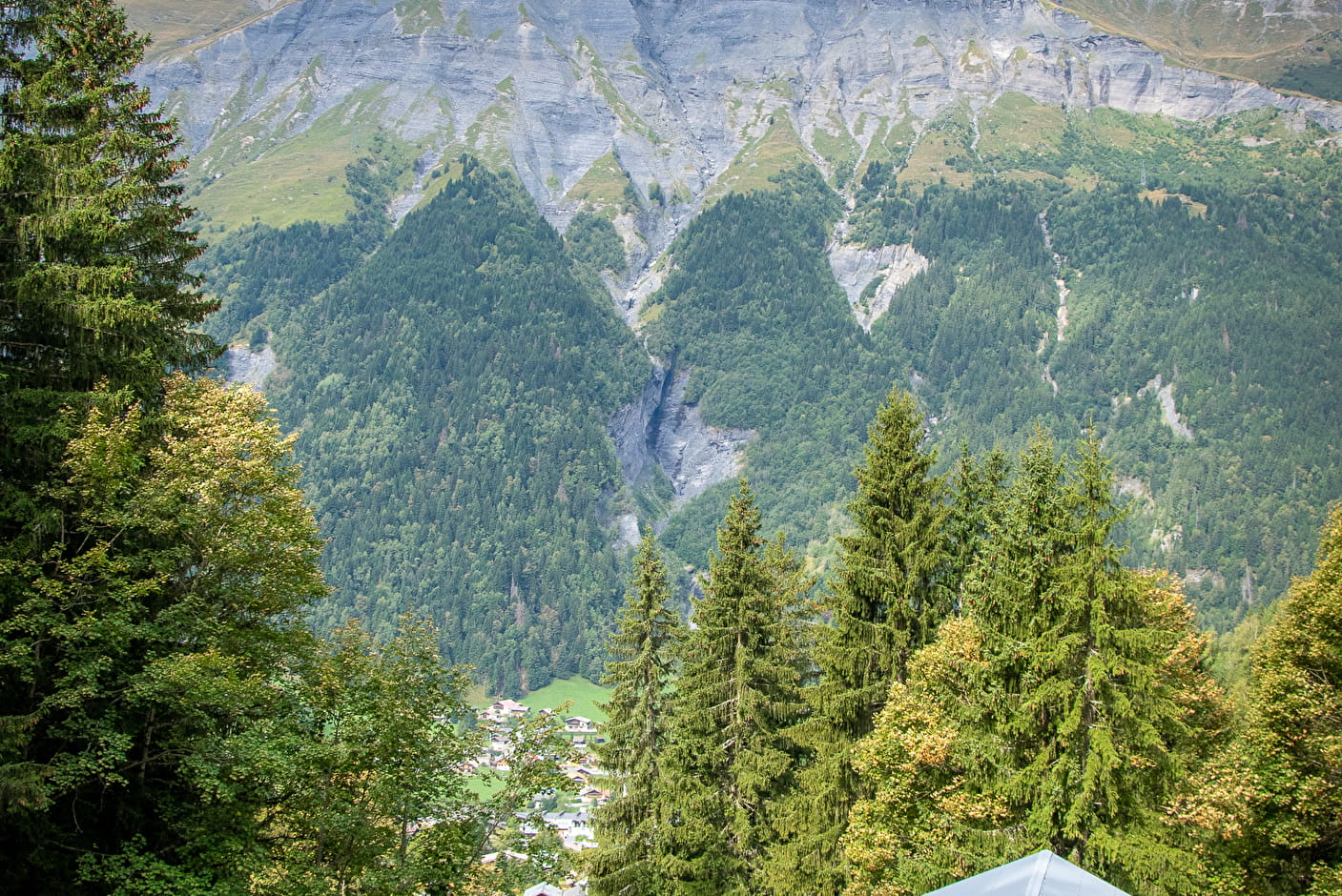
A fairly short but steep hike in places, offering magnificent views of the Armancette, Miage and Covagnet glaciers.

Sport Mont Truc via the Truc chalets Les Contamines-Montjoie
About

1 3


Prices
Free of charge.
Reception
Period of practice
From 01/05 to 31/10.
Subject to snow conditions.
Services
- Pets welcome
- Car park
- Free car park