- Access to the chalet only on foot (30 / 40min)
On the itinerary of the Savoyard Discovery Walk of the Needles
d'Arves.
Easy walk, accessible with young children, 200m elevation.
Possibility of on-site catering and unusual accommodation (dome geodesic).
- By car :
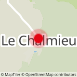
From Albiez-Montrond (chief town of Le Plan): drive towards the Col du Mollard, after passing Les Rieux, take the direction of Chalmieu, cross this hamlet and join the TV relay parking lot.
From St Jean d'Arves (Les Chambons) : drive towards St Jean de Maurienne, at the Belleville dam take the direction of Albiez-Montrond, reach the Chalmieu, cross this hamlet toward the TV relay parking lot.
- Mandatory booking
Overnight in dome or tent:
- Mandatory booking
- Authorized bivouac area with personal equipment
- Possibility to rent tent or down in low quantity
(no possibility of washing on site)
- Sport
Hike to Chalet d'la Croë
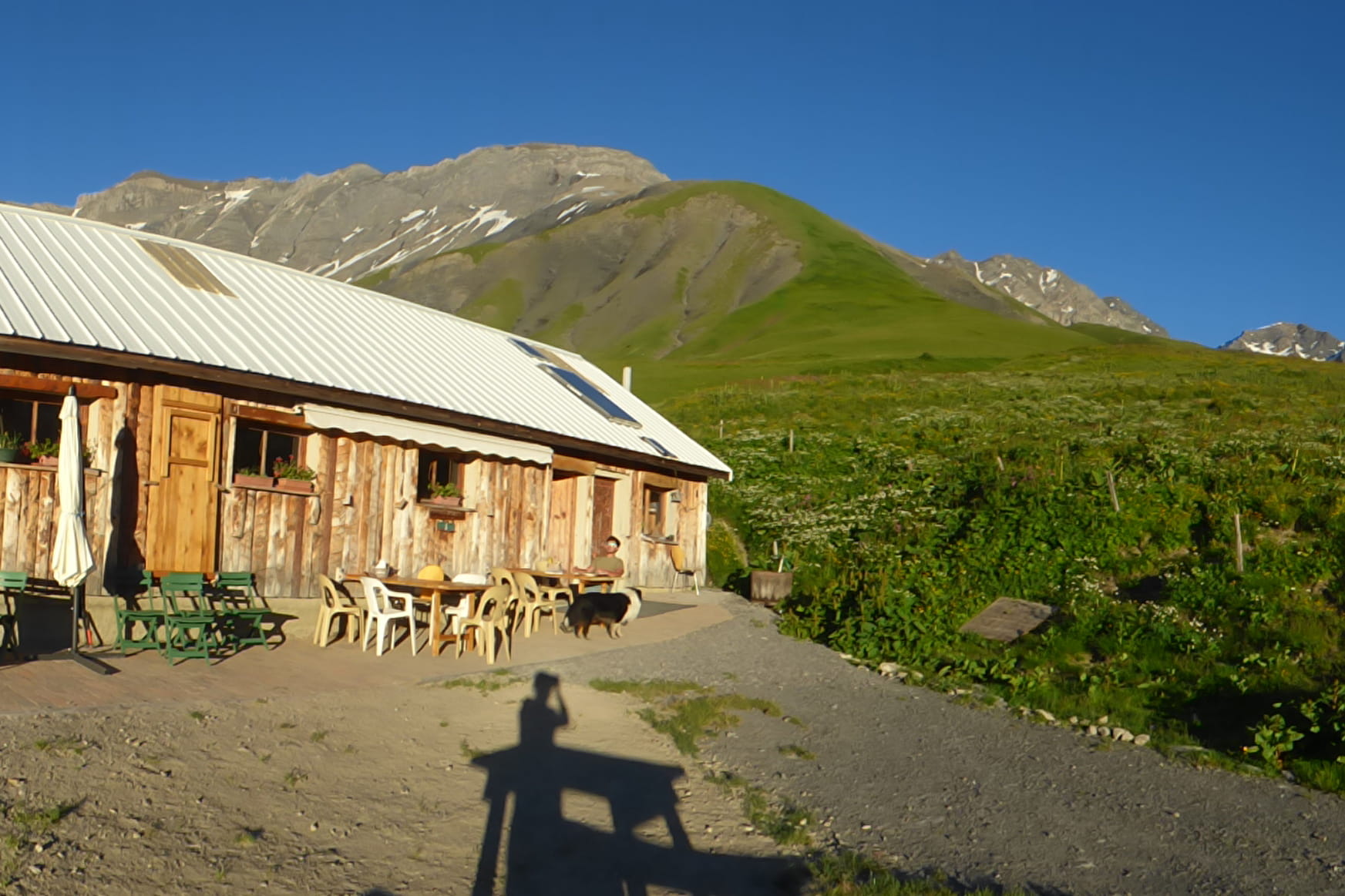
Come and discover the mountain pastures at the foot of the Aiguilles d'Arves by joining the Chalet de la Croë.
Sport Hike to Chalet d'la Croë Albiez-Montrond
About

1 8


The "PSD" is accessible with a baby stroller. The 2hours loop itinerary is equiped with interactive terminals informing you about the life in the mountains : alpine pasture, Beaufort cheese...
Reception
Period of practice
From 20/06 to 30/09.
Services
- Pets welcome


