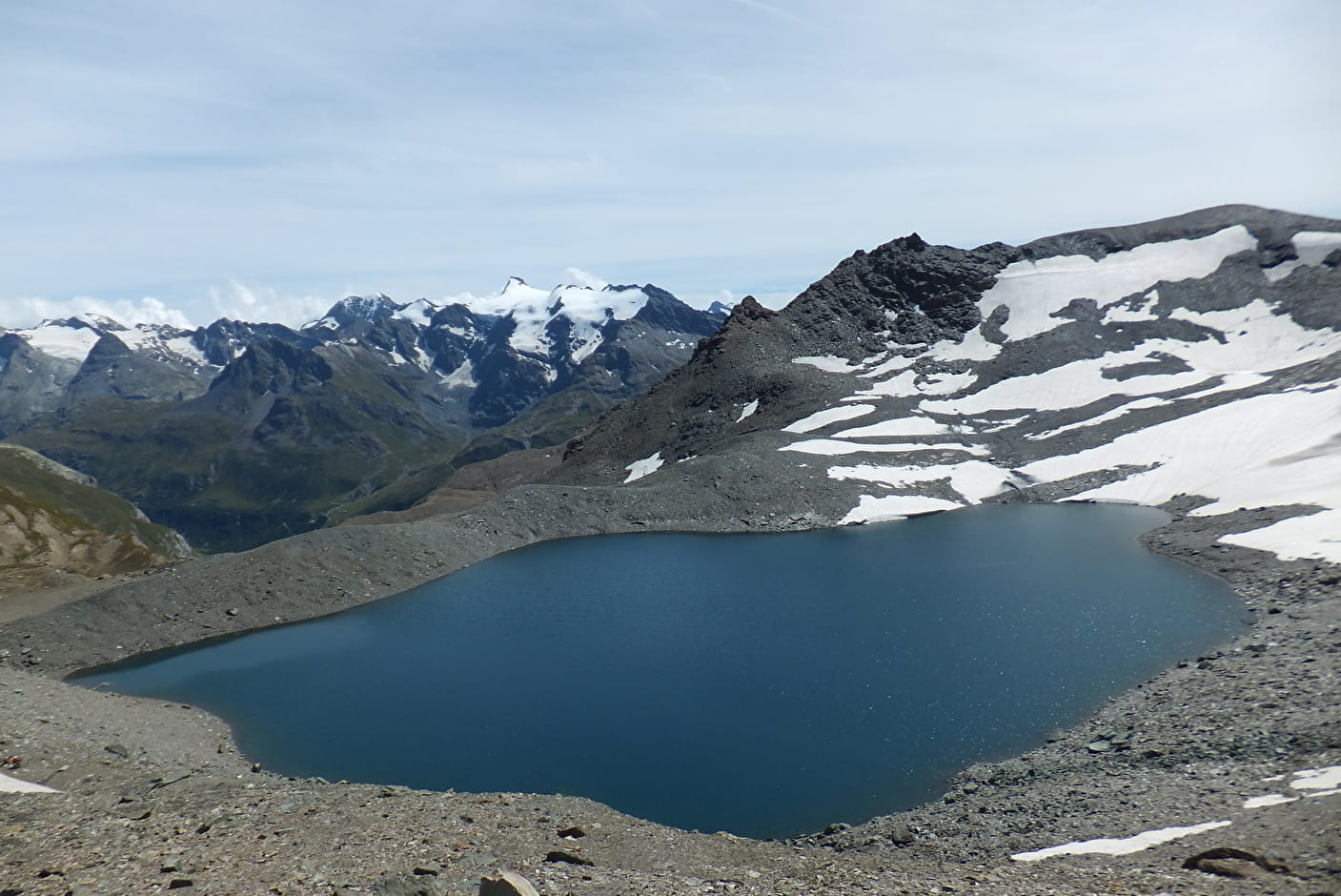
In places, the Vanoise is a rocky desert, where humans feel small, but it's here that the chamois feels right at home. And, when people feel small and lost, they build cairns. The one at Col des Fours is a real gem, standing an impressive two metres tall! It encourages you to extend your hike all the way to the lake, surpassing the 3,000 m altitude mark without too much effort. Chamois and ptarmigan might escort you some of the way. A 360° panoramic view of the border range with Italy and its eternal snows, just like those of the Vanoise (Grande Casse, Grande Motte, Mont-Pourri). The Grand Fond Lake, at the foot of the pass, reflects the pure sky, breathing life into the place, amid rocks whose colours range from gray to coppery brown. If you're craving some greenery, head down to the Fond des Fours refuge, nestled among the alpine meadows at the core of Vanoise National Park, where fearless marmots are ever ready to give you a warm welcome.
- Sport
La Pointe des Fours
This "easiest 3,000" bring the high-altitude mountain environment within reach. It's a real buzz being so high up: this experience of the high-altitude environment between Haute Maurienne and Haute Tarentaise gives you memories you'll treasure for a long time.
About
Signs
Vanoise National Park signposting (PNV)
Difficult passages
Be careful when crossing a large névé in early summer. Appropriate equipment is essential.
Map references
Map and booklet "Balades et Randonnées Haute Maurienne Vanoise" (sold for 10 € in the Tourist Office).
Topoguides references
Orange route n°75
Further informations
Rock, Stone, Ground


To guide you in the field, consult the "step-by-step" directional diagram provided in pdf.
Prices
Free access.
Reception
Period of practice
From 01/07 to 01/10.
Subject to favorable snow and weather conditions.
- Parking
Contacts
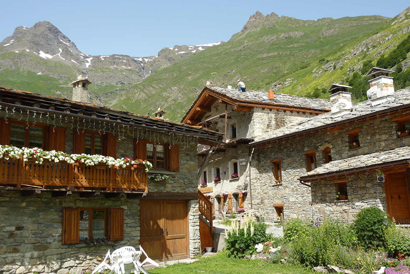
Access
To get there by car: from Bonneval sur Arc, head for the Col de l'Iseran, and park in the Pont de la neige parking lot.