- Sport
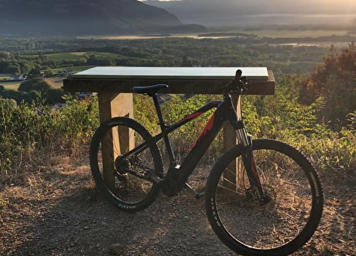
Randonnée VTT - Boucle VTT Clermont-Chilly
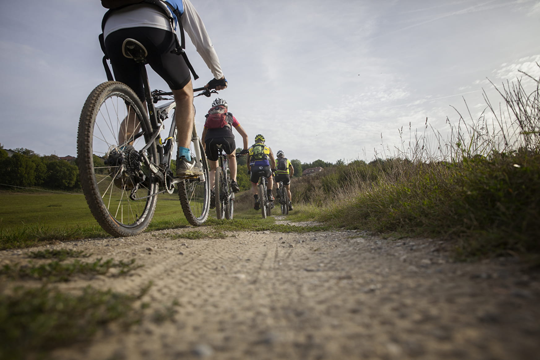
Sport Randonnée VTT - Boucle VTT Clermont-Chilly Chilly
About

Further informations
Rock, Ground, Hard coating (tar, cement, flooring)
Prices
Free of charge.
Reception
Period of practice
All year round.
Services
- Restaurant
- Free car park
- Car park